Transport Functions
Port
Road
Multimodal
Hub Profile
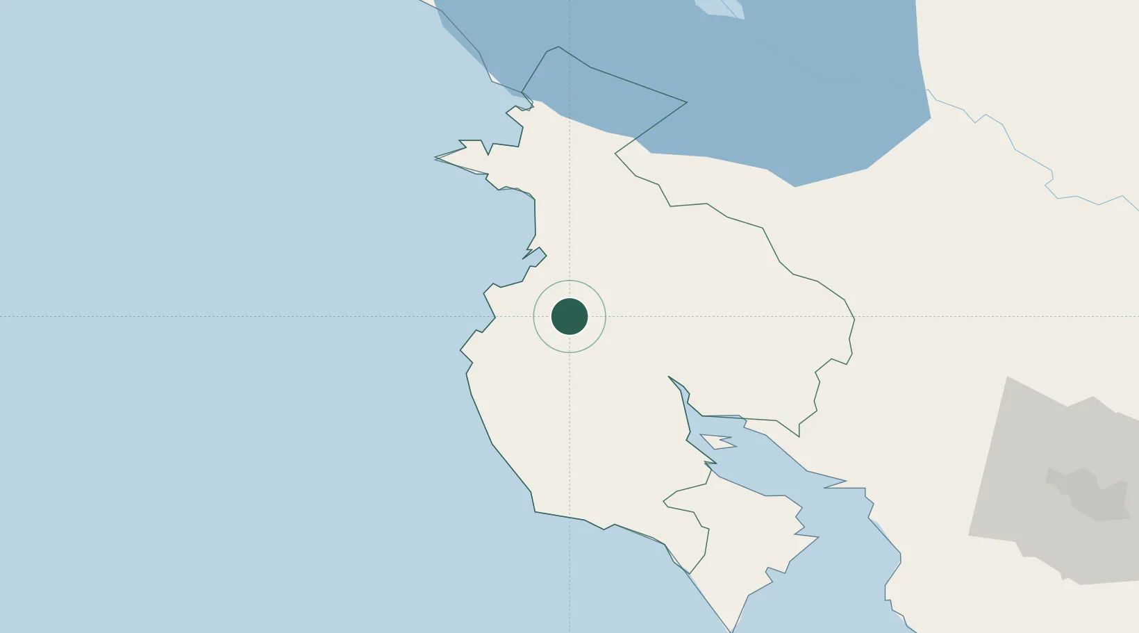
Place type
Populated place
Region
Guanacaste Province
Time zone
America/Costa_Rica
Elevation
20 m
Location
Nearby Logistics Neighbours
Cities
- 1Guardia14 km
- 2Golfo de Papagayo21 km
- 3Ciruelas24 km
- 4Playa Conchal26 km
- 5Bagaces36 km
Ports
- 1Puntarenas96 km
- 2Puerto Caldera110 km
- 3Puerto Quepos191 km
- 4Puerto Sandino233 km
- 5Bluefields264 km
Airports
- 1Daniel Oduber Quirós International Airport16 km
- 2Nosara Airport54 km
- 3Upala Airport78 km
- 4La Fortuna Arenal Airport108 km
- 5Los Chiles Airport114 km
Trade Zones
- 1Zona Franca Puntarenas, SA106 km
- 2Puntarenas Free Trade Zone115 km
- 3Zona Franca Nicaragua115 km
- 4Activa Industrial Park141 km
- 5AAA Top Talent Free Trade Zone142 km
DatabookThe Record of Consolidated Knowledge
Costa Rica beyond logistics?