UN/LOCODE hub · Costa Rica
CRPCL

Playa Conchal

10.4000°, -85.8000°
1
Transport functions

Transport Functions

Multimodal
UN/LOCODE

Hub Profile

Region
G
GeoNames

Location

Location of CRPCL
Natural Earth 10m (public domain) · G · CRPCL · 10.40, -85.80GoogleOSMYandex

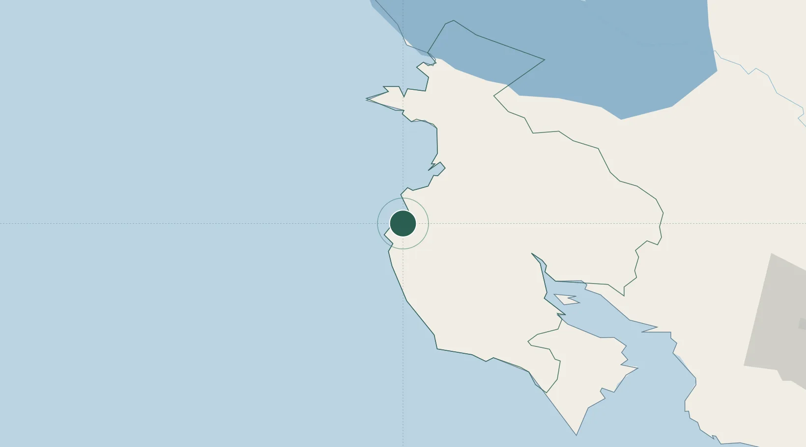
Nearby Logistics Neighbours

Cities
  1. 1Golfo de Papagayo26 km
  2. 2Filadelfia26 km
  3. 3Guardia29 km
  4. 4Ciruelas50 km
  5. 5Caimital52 km
Nearest neighbours — logibook spatial index (haversine) over the source coordinates
Ports
  1. 1Puntarenas116 km
  2. 2Puerto Caldera130 km
  3. 3Puerto Quepos209 km
  4. 4Puerto Sandino225 km
  5. 5Corinto275 km
Nearest neighbours — logibook spatial index (haversine) over the source coordinates
Airports
  1. 1Daniel Oduber Quirós International Airport35 km
  2. 2Nosara Airport50 km
  3. 3Upala Airport102 km
  4. 4Omtepe Airport125 km
  5. 5La Fortuna Arenal Airport134 km
Nearest neighbours — logibook spatial index (haversine) over the source coordinates
Trade Zones
  1. 1Zona Franca Nicaragua117 km
  2. 2Zona Franca Puntarenas, SA127 km
  3. 3Puntarenas Free Trade Zone136 km
  4. 4Activa Industrial Park164 km
  5. 5AAA Top Talent Free Trade Zone165 km
Nearest neighbours — logibook spatial index (haversine) over the source coordinates
DatabookThe Record of Consolidated Knowledge
Costa Rica beyond logistics?
Browse databook

All Sources

LocationsUN/LOCODE
UN/LOCODE — free
Portsthe NGA World Port Index
Public domain (US gov)
AirportsOurAirports
Public domain
Trade Zonesthe World Bank SEZ database
CC BY 4.0
Trade ZonesOpen Zone Map
CC BY
← Costa Rica locations