Free Trade Zone · Costa Rica

AAA Top Talent Free Trade Zone Under Development
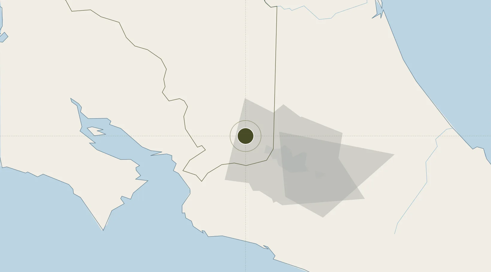
10.0743°, -84.3302°
45.8 km
Nearest port
16.0 km
Nearest airport

Gateway access

Nearest neighbours — logibook spatial index (haversine) over the source coordinates

Zone profile

Zone type
Free Trade Zone
Open Zone Map
Region
Alajuela
Open Zone Map
Status
Under Development
Open Zone Map
Management
Public-Private Partnership
Open Zone Map
Operator
CINDA
Open Zone Map
Legal framework
Free Zone Regime Act No 7210, Act No 8794 and its Bylaws
Open Zone Map

Location

Location of ozm-1705
Natural Earth 10m (public domain) · Alajuela · ozm-1705 · 10.07, -84.33GoogleOSMYandex

Nearby Logistics Neighbours

Ports
  1. 1Puerto Caldera46 km
  2. 2Puntarenas56 km
  3. 3Puerto Quepos74 km
  4. 4Puerto Moin137 km
  5. 5Puerto Limon144 km
Nearest neighbours — logibook spatial index (haversine) over the source coordinates
Airports
  1. 1Juan Santamaría International Airport16 km
  2. 2Tobías Bolaños International Airport25 km
  3. 3La Fortuna Arenal Airport52 km
  4. 4Guapiles Airport61 km
  5. 5Quepos Managua Airport74 km
Nearest neighbours — logibook spatial index (haversine) over the source coordinates
Cities
  1. 1Sarchí2 km
  2. 2Poas5 km
  3. 3Naranjo7 km
  4. 4Santa Rosa de Pocosol7 km
  5. 5San Pedro de Poas9 km
Nearest neighbours — logibook spatial index (haversine) over the source coordinates
Trade Zones
  1. 1Activa Industrial Park3 km
  2. 2Coyol Free Zone11 km
  3. 3Zona Franca BES (BES Free Zone)12 km
  4. 4Greenpark12 km
  5. 5Zeta Free Zone Alajuela13 km
Nearest neighbours — logibook spatial index (haversine) over the source coordinates
DatabookThe Record of Consolidated Knowledge
Costa Rica beyond logistics?
Browse databook

All Sources

Trade ZonesOpen Zone Map
CC BY
Portsthe NGA World Port Index
Public domain (US gov)
AirportsOurAirports
Public domain
LocationsUN/LOCODE
UN/LOCODE — free
← Costa Rica trade zones