UN/LOCODE hub · Costa Rica
CRCTC

Moravia

9.8500°, -83.4333°
2
Transport functions

Transport Functions

Port
Multimodal
UN/LOCODE

Hub Profile

Place type
Populated place
GeoNames
Region
Cartago Province
GeoNames
Time zone
America/Costa_Rica
GeoNames
Elevation
1,166 m
GeoNames

Location

Location of CRCTC
Natural Earth 10m (public domain) · Cartago Province · CRCTC · 9.85, -83.43GoogleOSMYandex

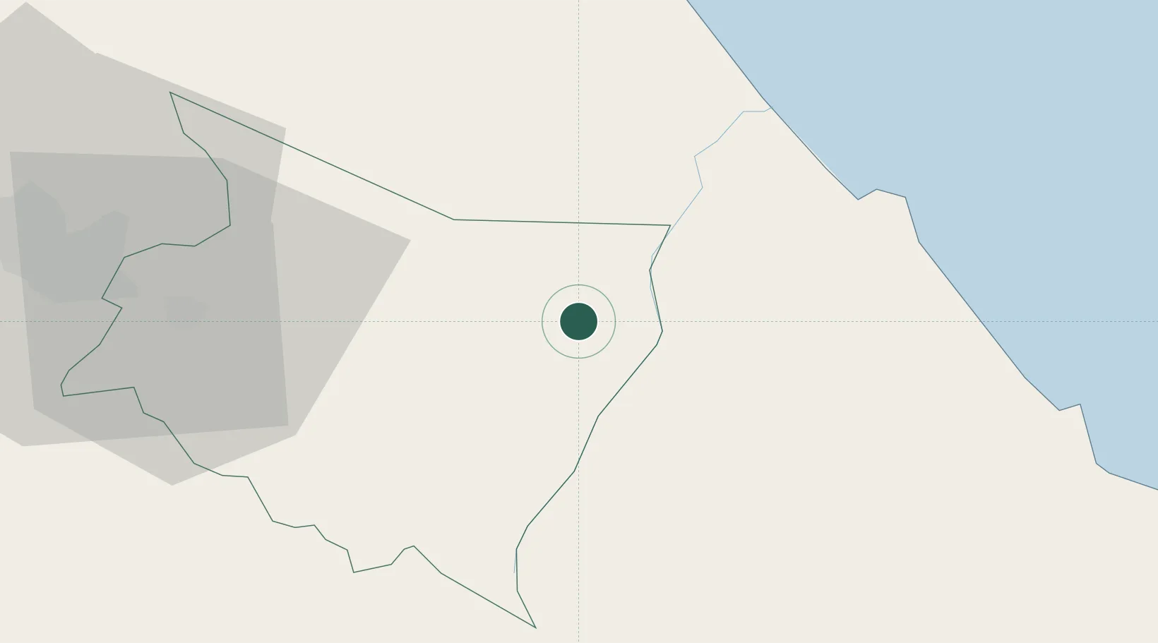
Nearby Logistics Neighbours

Cities
  1. 1Playa Hermosa14 km
  2. 2Siquirres29 km
  3. 3Aguas Zarcas33 km
  4. 4Francia34 km
  5. 5Búffalo35 km
Nearest neighbours — logibook spatial index (haversine) over the source coordinates
Ports
  1. 1Puerto Moin42 km
  2. 2Puerto Limon48 km
  3. 3Puerto Quepos93 km
  4. 4Almirante129 km
  5. 5Golfito138 km
Nearest neighbours — logibook spatial index (haversine) over the source coordinates
Airports
  1. 1Limón International Airport47 km
  2. 2Guapiles Airport57 km
  3. 3Aerotortuguero Airport66 km
  4. 4Buenos Aires Airport77 km
  5. 5Tobías Bolaños International Airport78 km
Nearest neighbours — logibook spatial index (haversine) over the source coordinates
Trade Zones
  1. 1FreeHold Free Zone28 km
  2. 2Caribe Industrial Park & Free Zone39 km
  3. 3Zeta Free Zone Catargo57 km
  4. 4Lima Free Zone and Business Park57 km
  5. 5El Roble Industrial Logistics Zone (RILZ)70 km
Nearest neighbours — logibook spatial index (haversine) over the source coordinates
DatabookThe Record of Consolidated Knowledge
Costa Rica beyond logistics?
Browse databook

All Sources

LocationsUN/LOCODE
UN/LOCODE — free
Portsthe NGA World Port Index
Public domain (US gov)
AirportsOurAirports
Public domain
Trade Zonesthe World Bank SEZ database
CC BY 4.0
Trade ZonesOpen Zone Map
CC BY
← Costa Rica locations