Transport Functions
Rail
Road
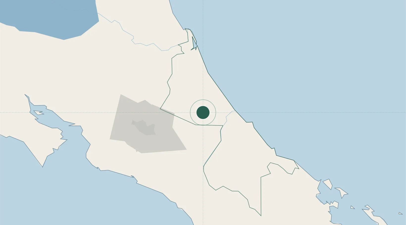
Hub Profile
Place type
Local administrative seat
Region
Limón Province
Population
18,231
Time zone
America/Costa_Rica
Elevation
69 m
Location
Nearby Logistics Neighbours
Cities
- 1Francia5 km
- 2Limon Via Turrialba13 km
- 3Rio Jimenez19 km
- 4Villa Franca24 km
- 5Playa Hermosa25 km
Ports
- 1Puerto Moin49 km
- 2Puerto Limon56 km
- 3Puerto Quepos103 km
- 4Puerto Caldera133 km
- 5Puntarenas145 km
Airports
Trade Zones
DatabookThe Record of Consolidated Knowledge
Costa Rica beyond logistics?