Medium airport · Costa Rica

Tobías Bolaños International AirportMRPV
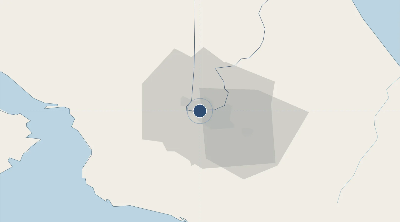
9.9571°, -84.1398°
5,138 ft
Longest runway
1
Runways
3,287 ft
Elevation

Runway & Layout

Tobías Bolaños International Airport runway & taxiway layout
Runway & taxiway layout — OpenStreetMap (ODbL) / OurAirports

Radio Frequencies

TWR
118.3 MHz
PAVAS TWR
GND
121.7 MHz
RDO
126.8 MHz
COCO RDO
OurAirports

Runways · 1

RunwayDimensions SurfaceTrue headingLit
10/28 5,138 × 75ft Asphalt 095°
OurAirports

Airport Specifications

IATA code
SYQ
OurAirports
ICAO code
MRPV
OurAirports
Airport class
Medium airport
OurAirports
Scheduled service
Yes
OurAirports
Runway surface
Asphalt
OurAirports
Served city
San Jose
OurAirports

Location

Location of MRPV
Natural Earth 10m (public domain) · Heredia · MRPV · 9.96, -84.14GoogleOSMYandex

Nearby Logistics Neighbours

Airports
  1. 1Juan Santamaría International Airport9 km
  2. 2Guapiles Airport47 km
  3. 3Quepos Managua Airport57 km
  4. 4La Fortuna Arenal Airport75 km
  5. 5Aerotortuguero Airport78 km
Nearest neighbours — logibook spatial index (haversine) over the source coordinates
Cities
  1. 1Barrial3 km
  2. 2San José3 km
  3. 3Santo Domingo5 km
  4. 4Heredia5 km
  5. 5La Ribera6 km
Nearest neighbours — logibook spatial index (haversine) over the source coordinates
Ports
  1. 1Puerto Quepos58 km
  2. 2Puerto Caldera63 km
  3. 3Puntarenas76 km
  4. 4Puerto Moin116 km
  5. 5Puerto Limon123 km
Nearest neighbours — logibook spatial index (haversine) over the source coordinates
Trade Zones
  1. 1UltraPark Escazú3 km
  2. 2UltraPark II3 km
  3. 3Ultrapark LAG Free Zone3 km
  4. 4Metro Free Zone3 km
  5. 5Zona Franca Metropolitana, SA3 km
Nearest neighbours — logibook spatial index (haversine) over the source coordinates
DatabookThe Record of Consolidated Knowledge
Costa Rica beyond logistics?
Browse databook

All Sources

AirportsOurAirports
Public domain
Portsthe NGA World Port Index
Public domain (US gov)
LocationsUN/LOCODE
UN/LOCODE — free
Trade Zonesthe World Bank SEZ database
CC BY 4.0
Trade ZonesOpen Zone Map
CC BY
InfrastructureOpenStreetMap
ODbL 1.0
← Costa Rica airports