Transport Functions
Multimodal
Hub Profile
Place type
Populated place
Region
Hunan
Population
118,000
Time zone
Asia/Shanghai
Elevation
116 m
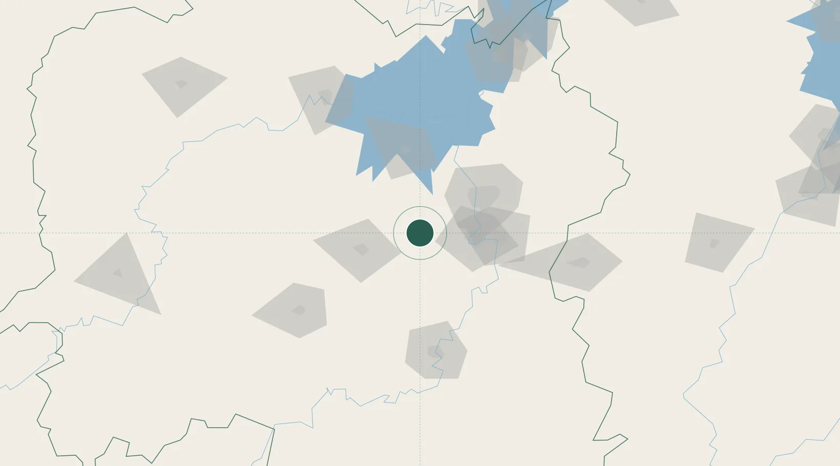
Location
Nearby Logistics Neighbours
Ports
- 1Hankow346 km
- 2Guangzhou537 km
- 3Huangpu544 km
- 4Huangpuxingang549 km
- 5Huizhou612 km
Airports
DatabookThe Record of Consolidated Knowledge
China beyond logistics?