Export Processing Zone · China

Shacheng Economic Development Zone Active
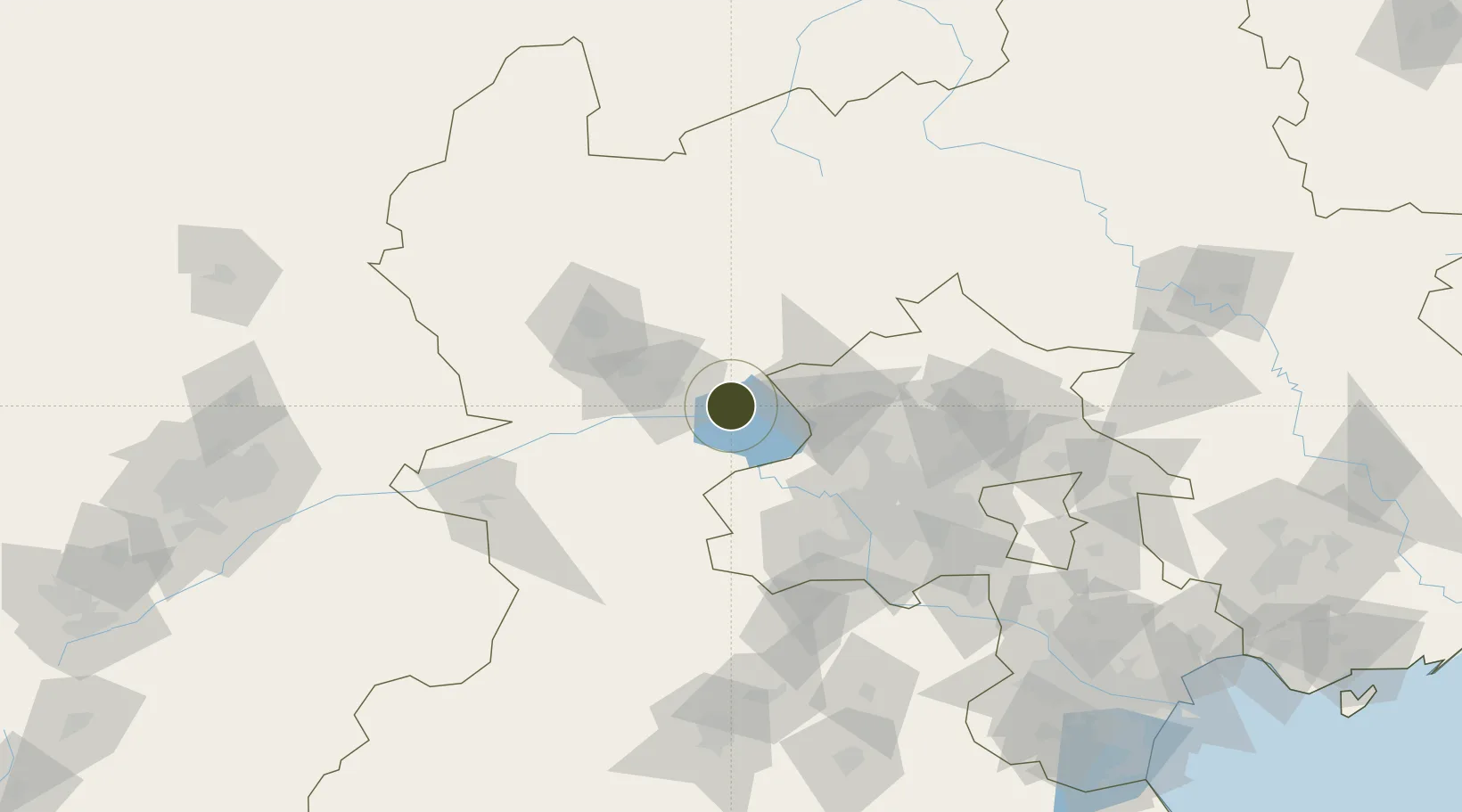
40.4100°, 115.5585°
388 ha
Zone area
252.3 km
Nearest port
47.6 km
Nearest airport

Gateway access

Nearest neighbours — logibook spatial index (haversine) over the source coordinates

Zone profile

Zone type
Export Processing Zone
Open Zone Map
Region
Hebei
Open Zone Map
Status
Active
Open Zone Map
Management
Public
Open Zone Map
Operator
Management Committee of Shacheng Economic Development Zone, Hebei Province
Open Zone Map
Legal framework
Unavailable
Open Zone Map

Location

Location of ozm-1118
Natural Earth 10m (public domain) · Hebei · ozm-1118 · 40.41, 115.56GoogleOSMYandex

Nearby Logistics Neighbours

Ports
  1. 1Tianjin Xin Gang252 km
  2. 2Tangshan (Jingtang)325 km
  3. 3Qinhuangdao349 km
  4. 4Huludao Gang459 km
  5. 5Jinzhou Wan469 km
Nearest neighbours — logibook spatial index (haversine) over the source coordinates
Airports
  1. 1Yongning Air Base48 km
  2. 2Zhangjiakou Ningyuan Airport64 km
  3. 3Beijing Shahezhen Air Base71 km
  4. 4Beijing Xijiao Airport78 km
  5. 5Beijing Xijiao Airport78 km
Nearest neighbours — logibook spatial index (haversine) over the source coordinates
Cities
  1. 1Huailai7 km
  2. 2Longguan40 km
  3. 3Hebei63 km
  4. 4Shahe68 km
  5. 5Zhangjiakou74 km
Nearest neighbours — logibook spatial index (haversine) over the source coordinates
Trade Zones
  1. 1Xiahuayuan Economic Development Zone26 km
  2. 2Zhuolu Economic Development Zone32 km
  3. 3Chicheng Economic Development Zone58 km
  4. 4Zhangjiakou High-tech Industrial Development Zone63 km
  5. 5Beijing Tianzhu Export Processing Zone93 km
Nearest neighbours — logibook spatial index (haversine) over the source coordinates
DatabookThe Record of Consolidated Knowledge
China beyond logistics?
Browse databook

All Sources

Trade ZonesOpen Zone Map
CC BY
Portsthe NGA World Port Index
Public domain (US gov)
AirportsOurAirports
Public domain
LocationsUN/LOCODE
UN/LOCODE — free
← China trade zones