Runway & Layout

Airport Specifications
Airport class
Medium airport
Scheduled service
No
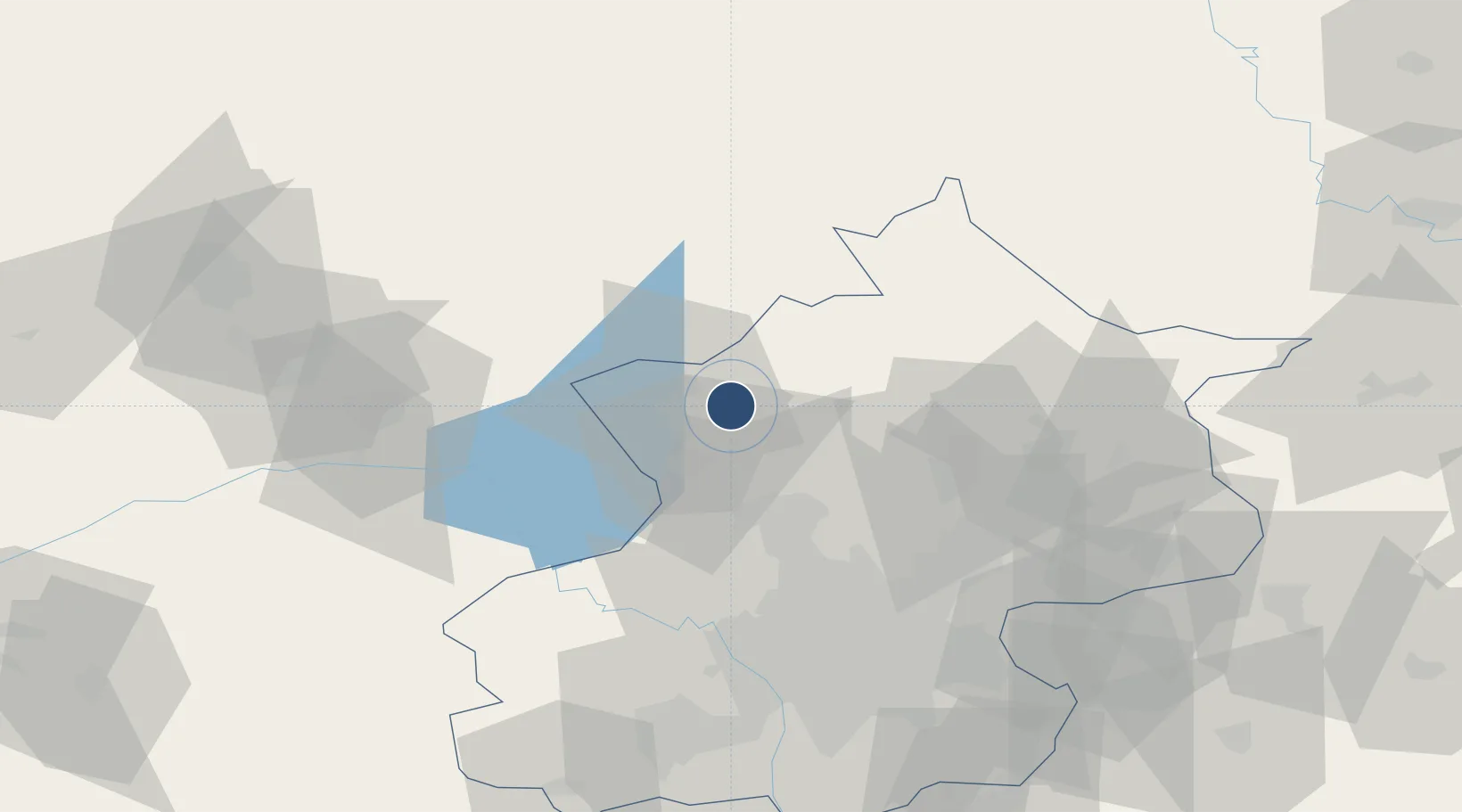
Served city
Yongning
Location
Nearby Logistics Neighbours
Airports
Ports
- 1Tianjin Xin Gang226 km
- 2Tangshan (Jingtang)288 km
- 3Qinhuangdao305 km
- 4Huludao Gang412 km
- 5Jinzhou Wan422 km
DatabookThe Record of Consolidated Knowledge
China beyond logistics?