Medium airport · China

Zhangjiakou Ningyuan AirportZBZJ
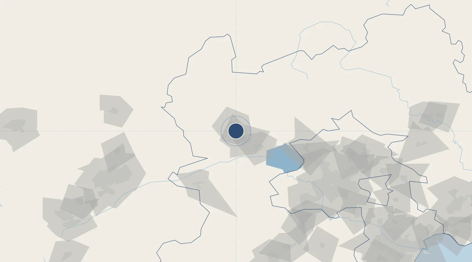
40.7387°, 114.9334°
8,202 ft
Longest runway
1
Runways
2,347 ft
Elevation

Runway & Layout

Zhangjiakou Ningyuan Airport runway & taxiway layout
Runway & taxiway layout — OpenStreetMap (ODbL) / OurAirports

Runways · 1

RunwayDimensions SurfaceTrue headingLit
12/30 8,202 × 148ft Concrete
OurAirports

Airport Specifications

IATA code
ZQZ
OurAirports
ICAO code
ZBZJ
OurAirports
Airport class
Medium airport
OurAirports
Scheduled service
Yes
OurAirports
Runway surface
Concrete
OurAirports
Served city
Zhangjiakou
OurAirports

Location

Location of ZBZJ
Natural Earth 10m (public domain) · Hebei · ZBZJ · 40.74, 114.93GoogleOSMYandex

Nearby Logistics Neighbours

Airports
  1. 1Yongning Air Base103 km
  2. 2Beijing Shahezhen Air Base135 km
  3. 3Beijing Xijiao Airport142 km
  4. 4Beijing Xijiao Airport142 km
  5. 5Datong Yungang International Airport144 km
Nearest neighbours — logibook spatial index (haversine) over the source coordinates
Cities
  1. 1Zhangjiakou10 km
  2. 2Longguan53 km
  3. 3Huailai63 km
  4. 4Hebei100 km
  5. 5Shahe132 km
Nearest neighbours — logibook spatial index (haversine) over the source coordinates
Ports
  1. 1Tianjin Xin Gang316 km
  2. 2Tangshan (Jingtang)388 km
  3. 3Qinhuangdao407 km
  4. 4Huludao Gang510 km
  5. 5Jinzhou Wan519 km
Nearest neighbours — logibook spatial index (haversine) over the source coordinates
Trade Zones
  1. 1Zhangjiakou High-tech Industrial Development Zone3 km
  2. 2Xiahuayuan Economic Development Zone39 km
  3. 3Zhuolu Economic Development Zone43 km
  4. 4Zhangbei Economic Development Zone51 km
  5. 5Shacheng Economic Development Zone64 km
Nearest neighbours — logibook spatial index (haversine) over the source coordinates
DatabookThe Record of Consolidated Knowledge
China beyond logistics?
Browse databook

All Sources

AirportsOurAirports
Public domain
Portsthe NGA World Port Index
Public domain (US gov)
LocationsUN/LOCODE
UN/LOCODE — free
Trade Zonesthe World Bank SEZ database
CC BY 4.0
Trade ZonesOpen Zone Map
CC BY
InfrastructureOpenStreetMap
ODbL 1.0
← China airports