Transport Functions
Port
Road
Hub Profile
Place type
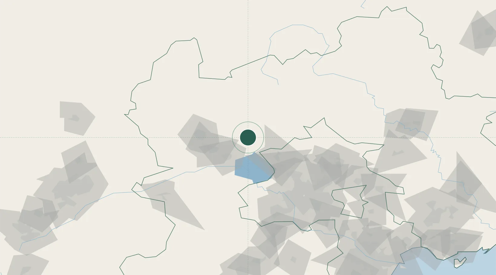
Populated place
Region
Hebei
Time zone
Asia/Shanghai
Elevation
1,067 m
Location
Nearby Logistics Neighbours
Cities
- 1Huailai45 km
- 2Zhangjiakou59 km
- 3Shahe94 km
- 4Hebei101 km
- 5Shunyi116 km
Ports
- 1Tianjin Xin Gang278 km
- 2Tangshan (Jingtang)342 km
- 3Qinhuangdao356 km
- 4Huludao Gang456 km
- 5Jinzhou Wan466 km
Airports
- 1Zhangjiakou Ningyuan Airport53 km
- 2Yongning Air Base54 km
- 3Beijing Shahezhen Air Base94 km
- 4Fengning Air Base104 km
- 5Beijing Xijiao Airport107 km
DatabookThe Record of Consolidated Knowledge
China beyond logistics?