Transport Functions
Port
Rail
Road
Hub Profile
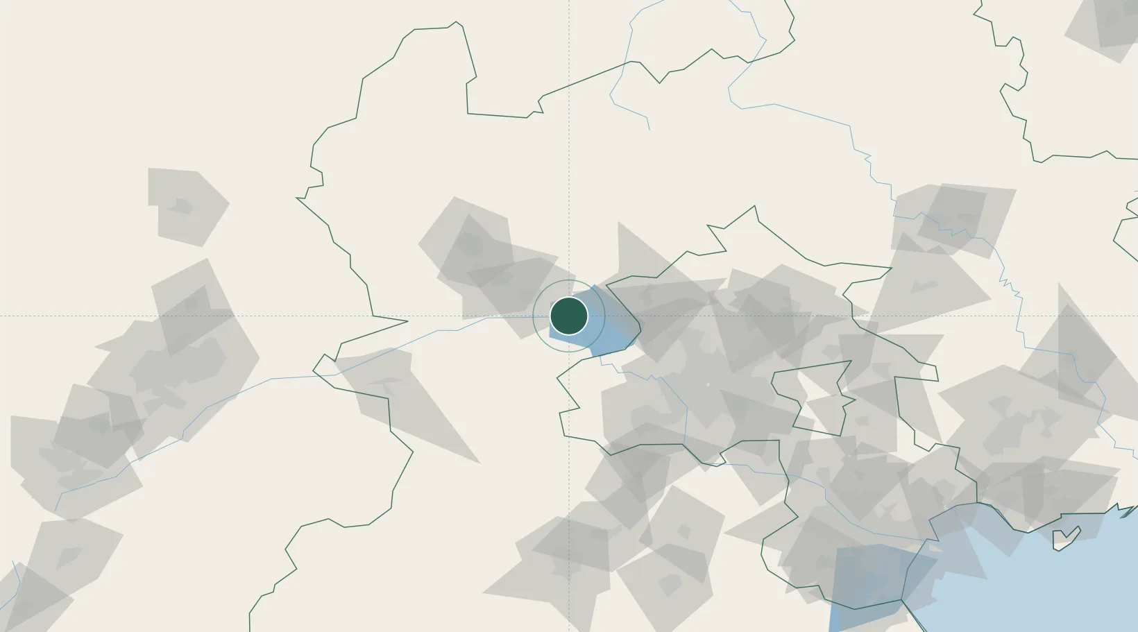
Place type
District seat
Region
Hebei
Time zone
Asia/Shanghai
Elevation
522 m
Location
Nearby Logistics Neighbours
Cities
- 1Longguan45 km
- 2Hebei57 km
- 3Shahe71 km
- 4Zhangjiakou73 km
- 5Beijing88 km
Ports
- 1Tianjin Xin Gang253 km
- 2Tangshan (Jingtang)327 km
- 3Qinhuangdao353 km
- 4Huludao Gang465 km
- 5Jinzhou Wan475 km
Airports
- 1Yongning Air Base54 km
- 2Zhangjiakou Ningyuan Airport63 km
- 3Beijing Shahezhen Air Base74 km
- 4Beijing Xijiao Airport79 km
- 5Beijing Xijiao Airport79 km
DatabookThe Record of Consolidated Knowledge
China beyond logistics?