Export Processing Zone · China
Zhuolu Economic Development Zone Active
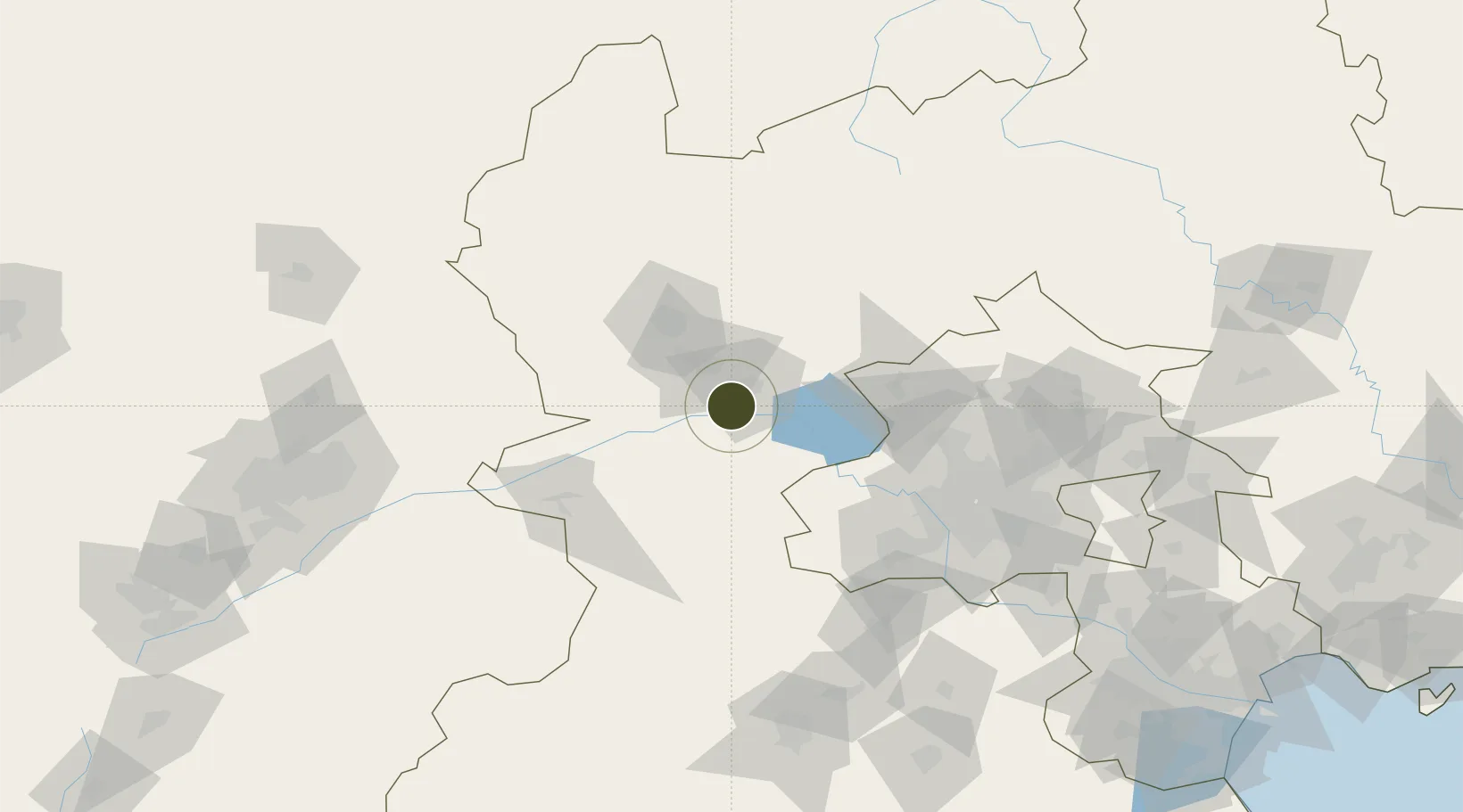
40.4011°, 115.1869°
1,150 ha
Zone area
277.0 km
Nearest port
43.2 km
Nearest airport
Gateway access
Zone profile
Zone type
Export Processing Zone
Region
Hebei
Status
Active
Management
Public
Operator
Working Committee of Zhuolu Economic Development Zone
Legal framework
Zhuolu County Capital Water Conservation Function Zone and Ecological Environment Support Zone Construction Plan (2019-2035)
Location
Nearby Logistics Neighbours
Ports
- 1Tianjin Xin Gang277 km
- 2Tangshan (Jingtang)353 km
- 3Qinhuangdao380 km
- 4Huludao Gang491 km
- 5Jinzhou Wan501 km
Airports
- 1Zhangjiakou Ningyuan Airport43 km
- 2Yongning Air Base79 km
- 3Beijing Shahezhen Air Base100 km
- 4Beijing Xijiao Airport103 km
- 5Beijing Xijiao Airport103 km
Cities
- 1Huailai27 km
- 2Longguan52 km
- 3Zhangjiakou54 km
- 4Hebei58 km
- 5Shahe97 km
DatabookThe Record of Consolidated Knowledge
China beyond logistics?