Transport Functions
Rail
Road
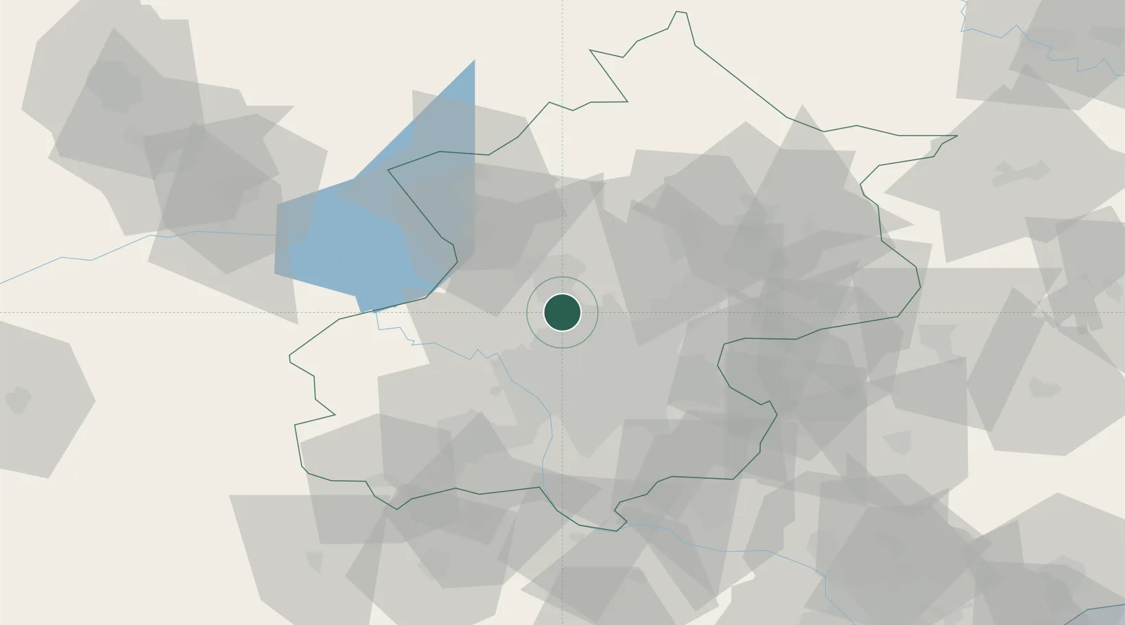
Hub Profile
Place type
Local administrative seat
Region
Beijing
Time zone
Asia/Shanghai
Elevation
44 m
Location
Nearby Logistics Neighbours
Ports
- 1Tianjin Xin Gang186 km
- 2Tangshan (Jingtang)257 km
- 3Qinhuangdao286 km
- 4Huludao Gang405 km
- 5Jinzhou Wan415 km
Airports
DatabookThe Record of Consolidated Knowledge
China beyond logistics?