UN/LOCODE hub · China
CNXHO

Xiaohudao

23.0833°, 113.4333°
1
Transport functions

Transport Functions

Port
UN/LOCODE

Hub Profile

Region
GD
GeoNames

Location

Location of CNXHO
Natural Earth 10m (public domain) · GD · CNXHO · 23.08, 113.43GoogleOSMYandex

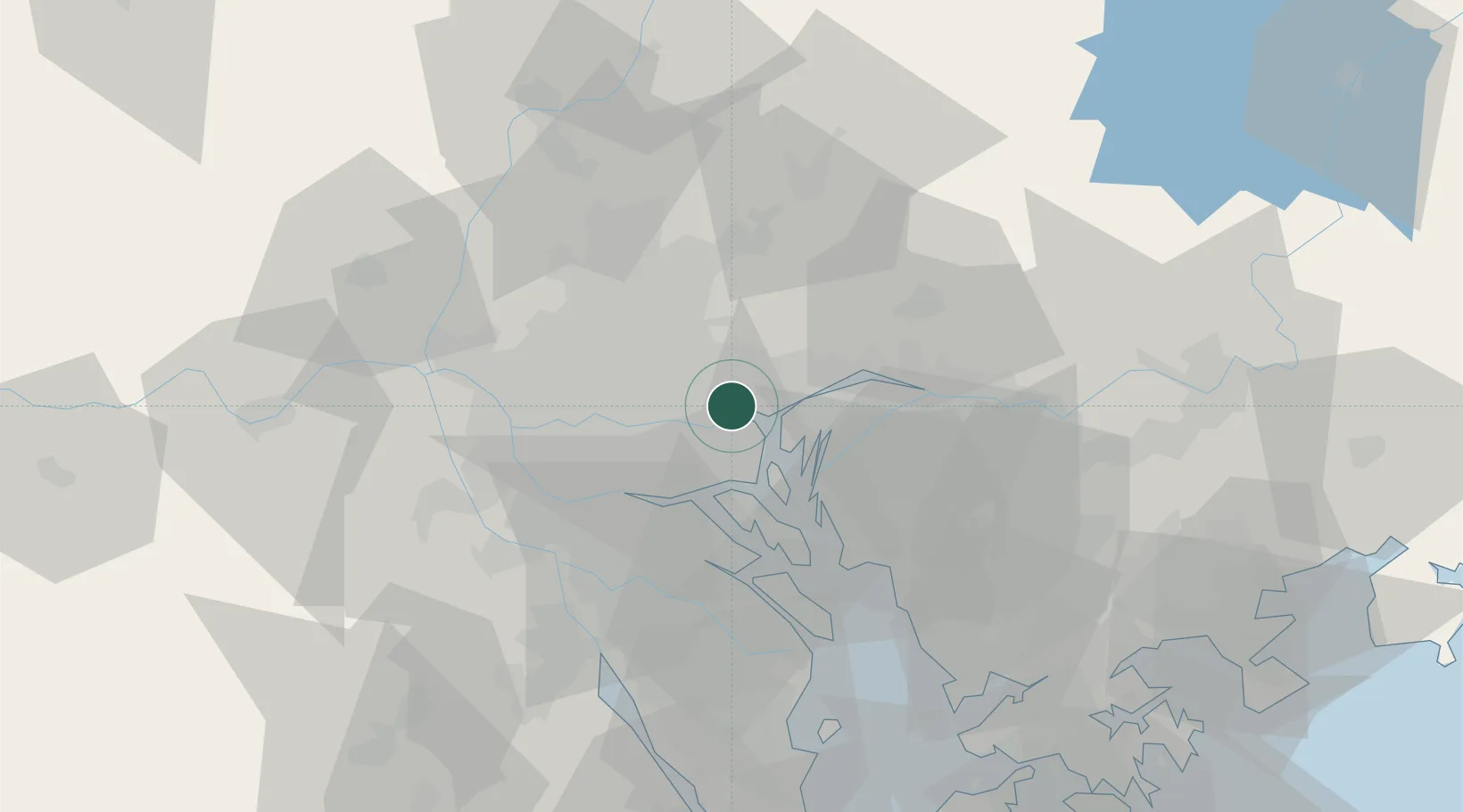
Nearby Logistics Neighbours

Cities
  1. 1Wu Chong Kou2 km
  2. 2Neigang3 km
  3. 3Yuzhu3 km
  4. 4Shating4 km
  5. 5Xinzao7 km
Nearest neighbours — logibook spatial index (haversine) over the source coordinates
Ports
  1. 1Huangpu2 km
  2. 2Huangpuxingang8 km
  3. 3Guangzhou21 km
  4. 4Shekou82 km
  5. 5Zhuhai96 km
Nearest neighbours — logibook spatial index (haversine) over the source coordinates
Airports
  1. 1Guangzhou Baiyun International Airport37 km
  2. 2Foshan Shadi Airport37 km
  3. 3Shenzhen Bao'an International Airport62 km
  4. 4Shek Kong Air Base98 km
  5. 5Hong Kong International Airport99 km
Nearest neighbours — logibook spatial index (haversine) over the source coordinates
Trade Zones
  1. 1Guangzhou Export Processing Zone11 km
  2. 2Yunpu Industrial Park13 km
  3. 3Longhu Industrial Park29 km
  4. 4Baiyun Industrial Park30 km
  5. 5Fushan Industrial Park41 km
Nearest neighbours — logibook spatial index (haversine) over the source coordinates
DatabookThe Record of Consolidated Knowledge
China beyond logistics?
Browse databook

All Sources

LocationsUN/LOCODE
UN/LOCODE — free
Portsthe NGA World Port Index
Public domain (US gov)
AirportsOurAirports
Public domain
Trade Zonesthe World Bank SEZ database
CC BY 4.0
Trade ZonesOpen Zone Map
CC BY
← China locations