Transport Functions
Port
Road
Hub Profile
Region
GD
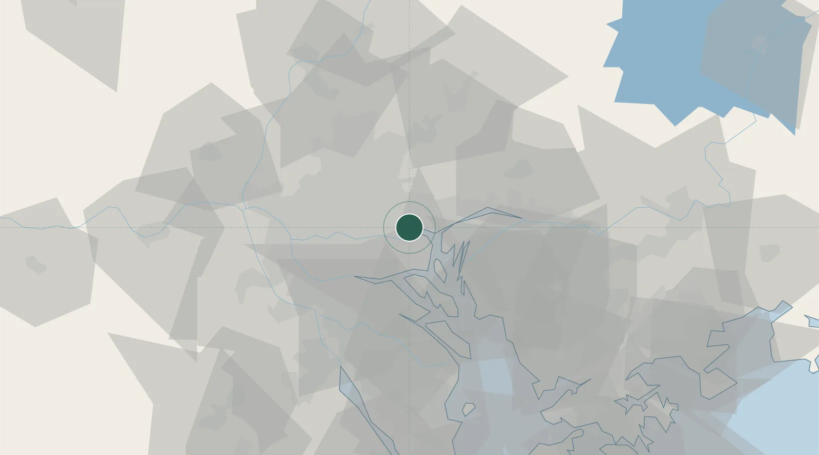
Location
Nearby Logistics Neighbours
Ports
- 1Huangpu0 km
- 2Huangpuxingang9 km
- 3Guangzhou19 km
- 4Shekou83 km
- 5Zhuhai96 km
Airports
Trade Zones
- 1Guangzhou Export Processing Zone12 km
- 2Yunpu Industrial Park14 km
- 3Longhu Industrial Park27 km
- 4Baiyun Industrial Park29 km
- 5Fushan Industrial Park40 km
DatabookThe Record of Consolidated Knowledge
China beyond logistics?