Export Processing Zone · China
Qujiang Economic Development Zone Active
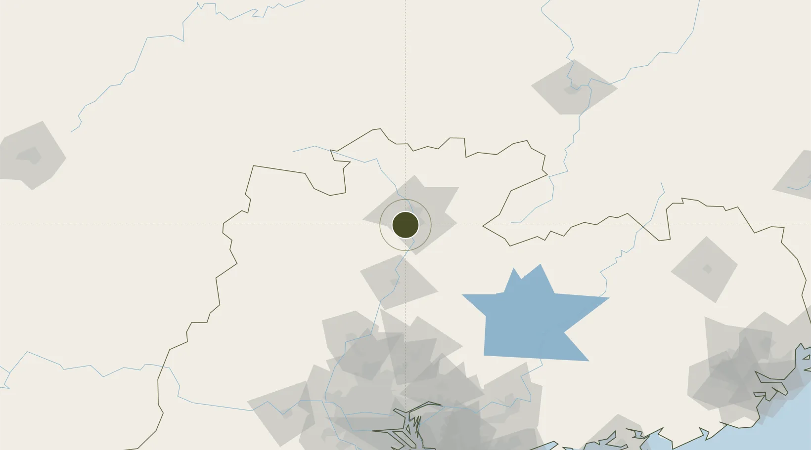
24.6848°, 113.5040°
100 ha
Zone area
176.5 km
Nearest port
33.7 km
Nearest airport
Gateway access
Zone profile
Zone type
Export Processing Zone
Region
Guangdong
Status
Active
Management
Public
Operator
Working Committee of Qujiang Economic Development Zone
Zhuhai Gaolan Industry Development Co. LTD
Legal framework
The shaoguan qujiang district party committee office of the communist party of China about print and distribute in qujiang district people's government office "in the fourth quarter of 2019 in the preliminary arrangement > priority and important event not
Location
Nearby Logistics Neighbours
Ports
- 1Guangzhou177 km
- 2Huangpu178 km
- 3Huangpuxingang182 km
- 4Huizhou242 km
- 5Yantian246 km
Airports
- 1Shaoguan Danxia Airport34 km
- 2Chenzhou Beihu Airport136 km
- 3Guangzhou Baiyun International Airport145 km
- 4Xincheng Air Base148 km
- 5Ganzhou Huangjin Airport183 km
Cities
- 1Shaoguan New Pt17 km
- 2Xiniu71 km
- 3Lianzhou117 km
- 4Qingyuan121 km
- 5Zhuliao148 km
DatabookThe Record of Consolidated Knowledge
China beyond logistics?