Export Processing Zone · China

Huangchuan economic and Technological Development Zone Active
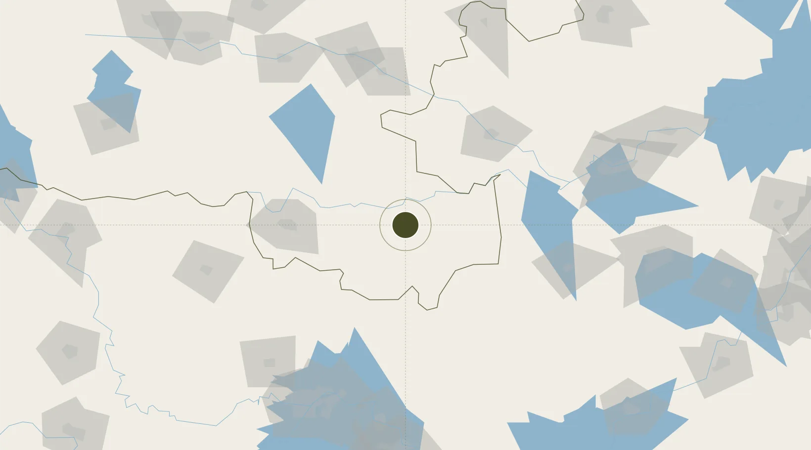
32.1303°, 115.1005°
1,600 ha
Zone area
188.7 km
Nearest port
102.6 km
Nearest airport

Gateway access

Nearest neighbours — logibook spatial index (haversine) over the source coordinates

Zone profile

Zone type
Export Processing Zone
Open Zone Map
Region
Henan
Open Zone Map
Status
Active
Open Zone Map
Management
Public
Open Zone Map
Operator
Management Committee of Huangchuan Economic Development Zone
Open Zone Map
Legal framework
Established in 2012
Open Zone Map

Location

Location of ozm-1326
Natural Earth 10m (public domain) · Henan · ozm-1326 · 32.13, 115.10GoogleOSMYandex

Nearby Logistics Neighbours

Ports
  1. 1Hankow189 km
  2. 2Nanjing344 km
  3. 3Zhenjiang408 km
  4. 4Yangzhou408 km
  5. 5Gaogang447 km
Nearest neighbours — logibook spatial index (haversine) over the source coordinates
Airports
  1. 1Fuyang Xiguan Airport103 km
  2. 2Xinyang Minggang Airport106 km
  3. 3Paozhuwan Air Base168 km
  4. 4Wuhan Tianhe International Airport173 km
  5. 5Xiaogan Air Base173 km
Nearest neighbours — logibook spatial index (haversine) over the source coordinates
Cities
  1. 1Wulidian77 km
  2. 2Xinyang99 km
  3. 3Lu'an138 km
  4. 4Huangbu145 km
  5. 5Zhaogang151 km
Nearest neighbours — logibook spatial index (haversine) over the source coordinates
Trade Zones
  1. 1Huangchuan Economic and Technical Zone1 km
  2. 2Shangcheng County Industrial Cluster38 km
  3. 3Gushi County Industrial Cluster52 km
  4. 4Xincai County Industrial Cluster74 km
  5. 5Funan Economic Development Zone76 km
Nearest neighbours — logibook spatial index (haversine) over the source coordinates
DatabookThe Record of Consolidated Knowledge
China beyond logistics?
Browse databook

All Sources

Trade ZonesOpen Zone Map
CC BY
Portsthe NGA World Port Index
Public domain (US gov)
AirportsOurAirports
Public domain
LocationsUN/LOCODE
UN/LOCODE — free
← China trade zones