Export Processing Zone · China

Xinyang Jinniu Logistics Industry Cluster Active
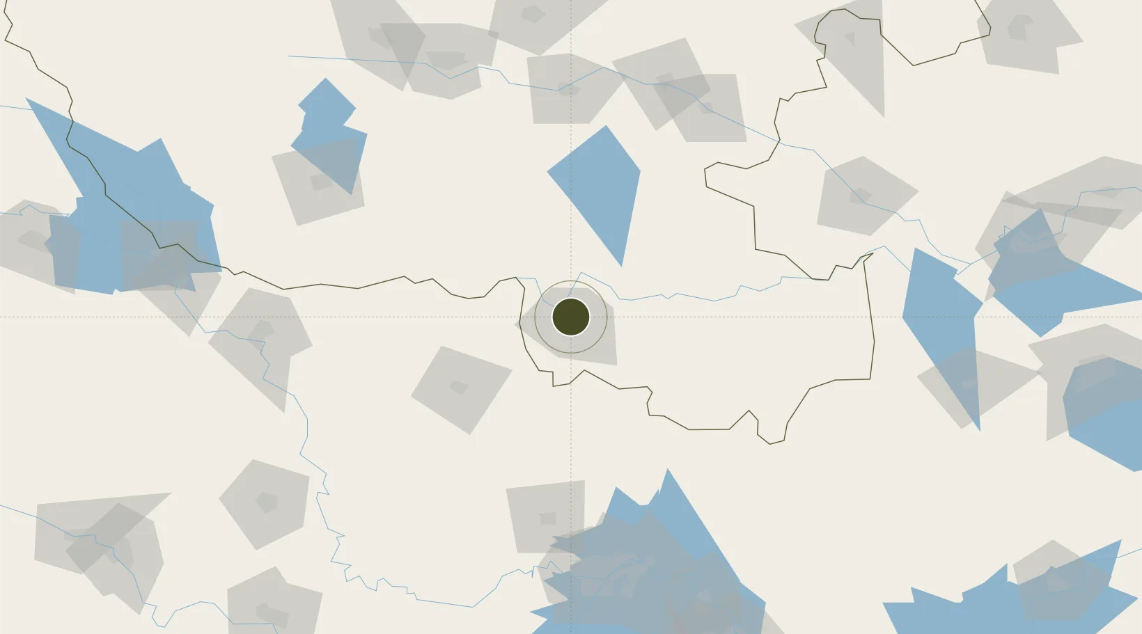
32.1759°, 114.0678°
986 ha
Zone area
178.3 km
Nearest port
40.6 km
Nearest airport

Gateway access

Nearest neighbours — logibook spatial index (haversine) over the source coordinates

Zone profile

Zone type
Export Processing Zone
Open Zone Map
Region
Henan
Open Zone Map
Status
Active
Open Zone Map
Management
Public
Open Zone Map
Operator
Xinyang Jinniu Logistics Industry Cluster Management Committee
Open Zone Map
Legal framework
The shihe District Committee and the district government set up the industrial cluster area, which is formerly the Jinniu industrial cluster area of Henan Shihe District, in accordance with the Opinions on Several policies on accelerating the development
Open Zone Map

Location

Location of ozm-1246
Natural Earth 10m (public domain) · Henan · ozm-1246 · 32.18, 114.07GoogleOSMYandex

Nearby Logistics Neighbours

Ports
  1. 1Hankow178 km
  2. 2Nanjing441 km
  3. 3Yangzhou505 km
  4. 4Zhenjiang505 km
  5. 5Gaogang544 km
Nearest neighbours — logibook spatial index (haversine) over the source coordinates
Airports
  1. 1Xinyang Minggang Airport41 km
  2. 2Xiaogan Air Base137 km
  3. 3Wuhan Tianhe International Airport156 km
  4. 4Nanyang Jiangying Airport163 km
  5. 5Xiangyang Liuji Airport167 km
Nearest neighbours — logibook spatial index (haversine) over the source coordinates
Cities
  1. 1Xinyang5 km
  2. 2Wulidian21 km
  3. 3Huangbu111 km
  4. 4Zhoukou169 km
  5. 5Nanyang171 km
Nearest neighbours — logibook spatial index (haversine) over the source coordinates
DatabookThe Record of Consolidated Knowledge
China beyond logistics?
Browse databook

All Sources

Trade ZonesOpen Zone Map
CC BY
Portsthe NGA World Port Index
Public domain (US gov)
AirportsOurAirports
Public domain
LocationsUN/LOCODE
UN/LOCODE — free
← China trade zones