Transport Functions
Rail
Road
Multimodal
Hub Profile
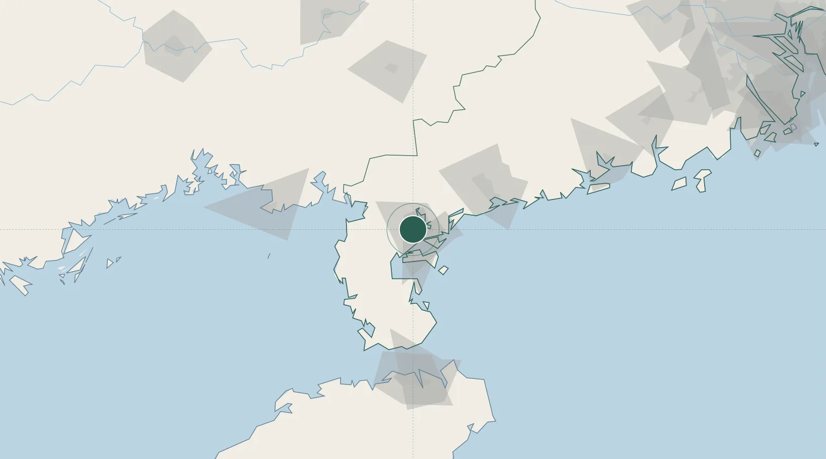
Place type
District seat
Region
Guangdong
Time zone
Asia/Shanghai
Elevation
16 m
Location
Nearby Logistics Neighbours
Cities
- 1Beitan14 km
- 2Zhanjiang Pt27 km
- 3Liancheng39 km
- 4Yingzai39 km
- 5Naozhou47 km
Airports
- 1Suixi Air Base20 km
- 2Zhanjiang Wuchuan International Airport36 km
- 3Beihai Fucheng Airport112 km
- 4Yulin Fumian Airport132 km
- 5Haikou Meilan International Airport149 km
DatabookThe Record of Consolidated Knowledge
China beyond logistics?