Export Processing Zone · China
Zhanjiang High-tech Industrial Development Zone Active
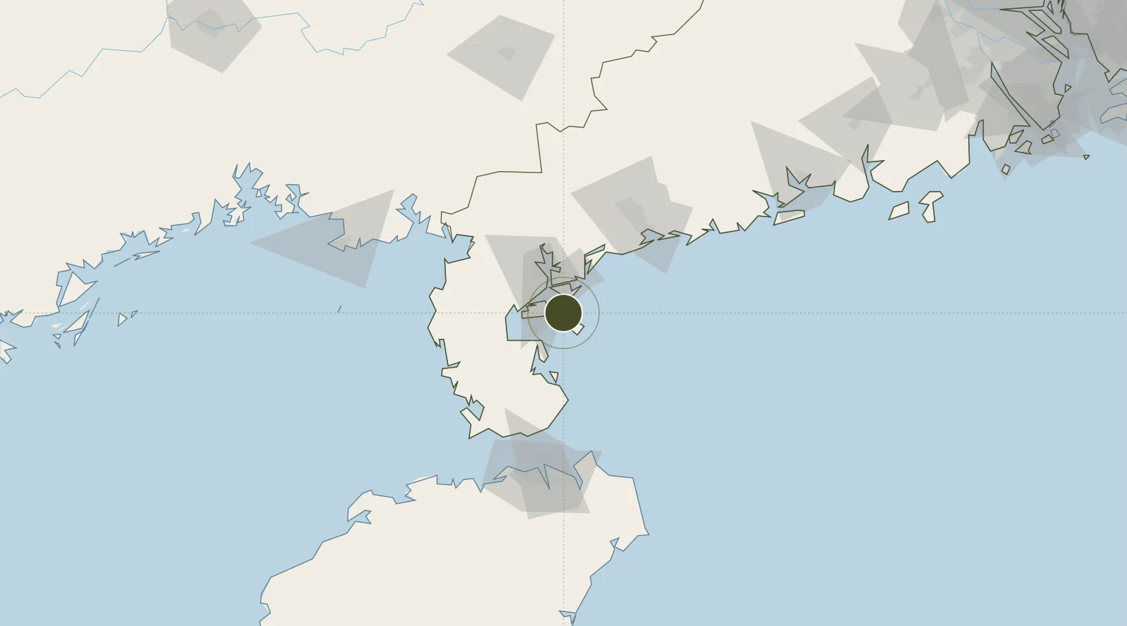
21.0196°, 110.5039°
1,502 ha
Zone area
22.8 km
Nearest port
52.2 km
Nearest airport
Gateway access
Zone profile
Zone type
Export Processing Zone
Region
Guangdong
Status
Active
Management
Public
Operator
Management Committee of Zhanjiang High-tech Industrial Development Zone
Legal framework
The reply of The State Council on approval of the upgrading of Zhanjiang High-tech Industrial Development Zone into a National High-tech Industrial Development Zone Letter no. 43 [2018] 1. Agree that Zhanjiang New and High Technology Industrial Developmen
Location
Nearby Logistics Neighbours
Airports
- 1Zhanjiang Wuchuan International Airport52 km
- 2Suixi Air Base52 km
- 3Haikou Meilan International Airport121 km
- 4Beihai Fucheng Airport138 km
- 5Yulin Fumian Airport162 km
Cities
- 1Zhanjiang Pt7 km
- 2Naozhou14 km
- 3Chikan33 km
- 4Beitan47 km
- 5Liusha47 km
DatabookThe Record of Consolidated Knowledge
China beyond logistics?