Transport Functions
Multimodal
Hub Profile
Place type
Urban district
Region
Ohio
Time zone
America/New_York
Elevation
209 m
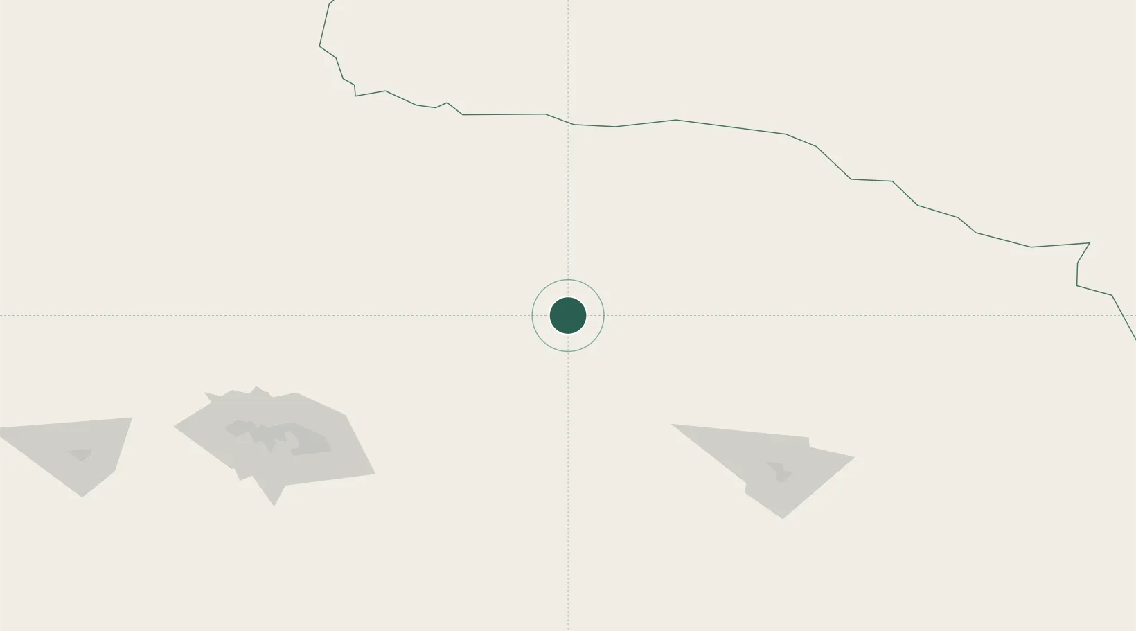
Location
Nearby Logistics Neighbours
Cities
- 1Shanshan195 km
- 2Urumqi International Lugang368 km
- 3Urumqi368 km
- 4Bussnang445 km
- 5Dunhuang458 km
Ports
- 1Mongla2388 km
- 2Chittagong2393 km
- 3Calcutta2393 km
- 4Hankow2437 km
- 5Haldia Port2455 km
Airports
- 1Yaerbashi Test Range98 km
- 2Hami Airport163 km
- 3Shanshan Airport187 km
- 4Qitai Jiangbulake Airport214 km
- 5Turpan Jiaohe Airport265 km
DatabookThe Record of Consolidated Knowledge
United States beyond logistics?