Small airport · China

Shihezi Huayuan AirportZWHZ
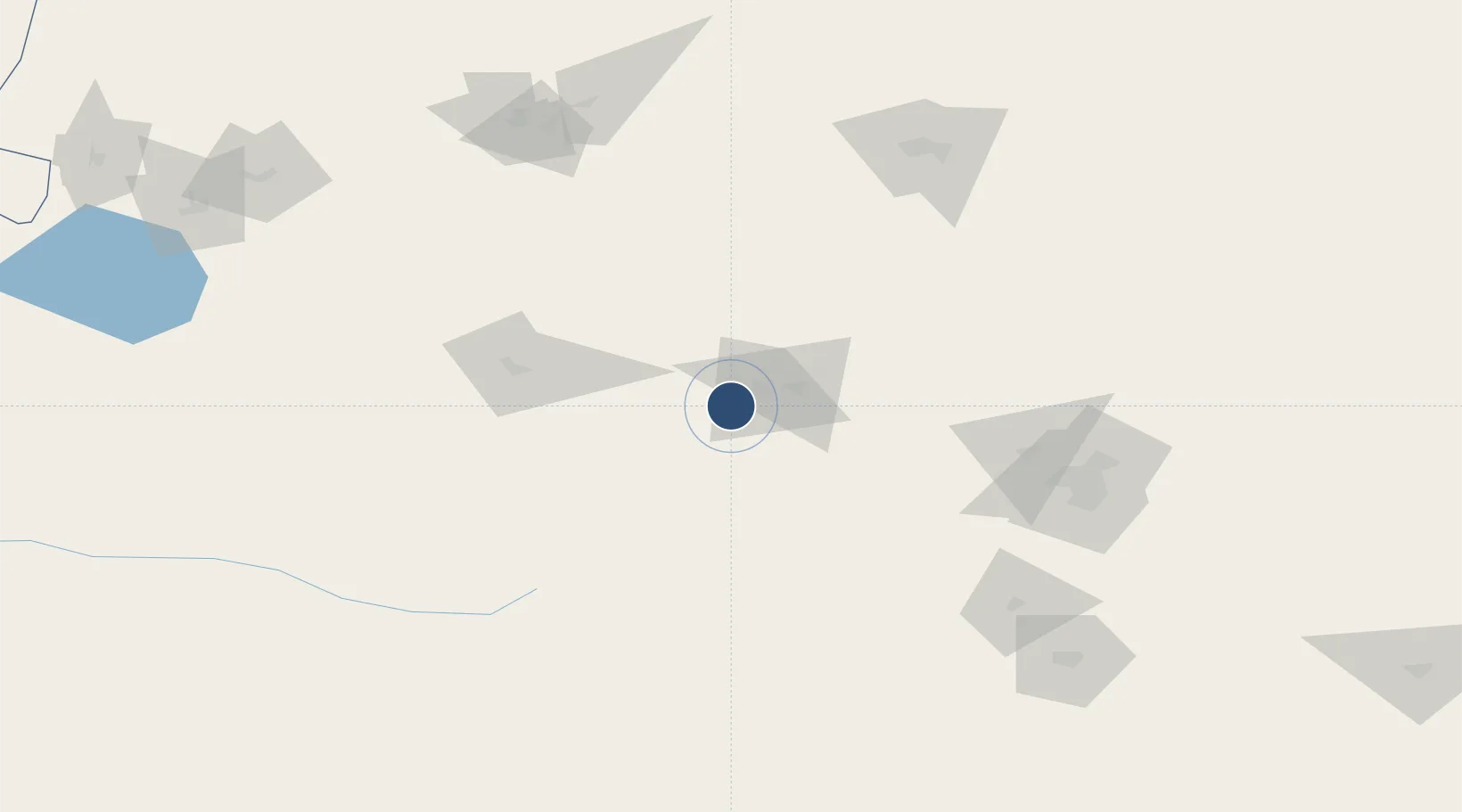
44.2421°, 85.8905°
7,874 ft
Longest runway
1
Runways
1,700 ft
Elevation

Runway & Layout

Shihezi Huayuan Airport runway & taxiway layout
Runway & taxiway layout — OpenStreetMap (ODbL) / OurAirports

Runways · 1

RunwayDimensions SurfaceTrue headingLit
09/27 7,874 × —ft
OurAirports

Airport Specifications

IATA code
SHF
OurAirports
ICAO code
ZWHZ
OurAirports
Airport class
Small airport
OurAirports
Scheduled service
Yes
OurAirports
Served city
Shihezi
OurAirports

Location

Location of ZWHZ
Natural Earth 10m (public domain) · Xinjiang · ZWHZ · 44.24, 85.89GoogleOSMYandex

Nearby Logistics Neighbours

Airports
  1. 1Ürümqi Changji Air Base100 km
  2. 2Ürümqi Tianshan International Airport132 km
  3. 3Karamay Airport155 km
  4. 4Ürümqi South Air Base157 km
  5. 5Hejing Bayinbuluke Airport208 km
Nearest neighbours — logibook spatial index (haversine) over the source coordinates
Cities
  1. 1Manas27 km
  2. 2Dushanzi83 km
  3. 3Urumqi International Lugang145 km
  4. 4Urumqi147 km
  5. 5Alashankou281 km
Nearest neighbours — logibook spatial index (haversine) over the source coordinates
Ports
  1. 1Calcutta2422 km
  2. 2Mongla2445 km
  3. 3Haldia Port2480 km
  4. 4Chittagong2498 km
  5. 5Igarka2582 km
Nearest neighbours — logibook spatial index (haversine) over the source coordinates
Trade Zones
  1. 1Shihezi New Chemical Material Industrial Park19 km
  2. 2Seventh Division Fifth Five Industrial Park80 km
  3. 3Corps Urumqi Industrial Park127 km
  4. 4Urumqi Export Processing Zone138 km
  5. 5Shuimogou Industrial Park148 km
Nearest neighbours — logibook spatial index (haversine) over the source coordinates
DatabookThe Record of Consolidated Knowledge
China beyond logistics?
Browse databook

All Sources

AirportsOurAirports
Public domain
Portsthe NGA World Port Index
Public domain (US gov)
LocationsUN/LOCODE
UN/LOCODE — free
Trade Zonesthe World Bank SEZ database
CC BY 4.0
Trade ZonesOpen Zone Map
CC BY
InfrastructureOpenStreetMap
ODbL 1.0
← China airports