UN/LOCODE hub · China
CNUAN

Xuancheng

30.8833°, 118.5500°
774,332
Population
3
Transport functions

Transport Functions

Rail
Road
Multimodal
UN/LOCODE

Hub Profile

Place type
Provincial seat
GeoNames
Region
Anhui
GeoNames
Population
774,332
GeoNames
Time zone
Asia/Shanghai
GeoNames
Elevation
25 m
GeoNames

Location

Location of CNUAN
Natural Earth 10m (public domain) · Anhui · CNUAN · 30.88, 118.55GoogleOSMYandex

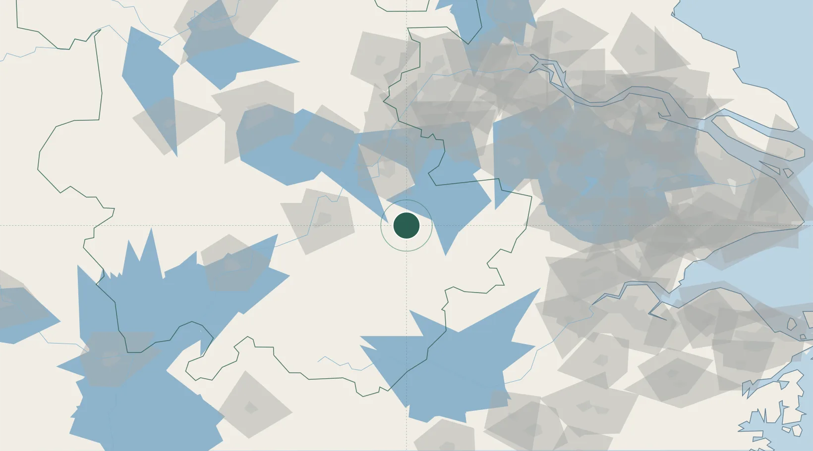
Nearby Logistics Neighbours

Cities
  1. 1Wuhu60 km
  2. 2Tongling72 km
  3. 3zhengpugang Pt85 km
  4. 4Ma'anshan93 km
  5. 5Chaohu104 km
Nearest neighbours — logibook spatial index (haversine) over the source coordinates
Ports
  1. 1Nanjing135 km
  2. 2Zhenjiang170 km
  3. 3Yangzhou175 km
  4. 4Changzhou182 km
  5. 5Jiangyin197 km
Nearest neighbours — logibook spatial index (haversine) over the source coordinates
Airports
  1. 1Wuhu Xuanzhou Airport27 km
  2. 2Chizhou Jiuhuashan Airport84 km
  3. 3Nanjing Lukou International Airport99 km
  4. 4Anji Tianzihu General Airport100 km
  5. 5Huangshan Tunxi International Airport131 km
Nearest neighbours — logibook spatial index (haversine) over the source coordinates
DatabookThe Record of Consolidated Knowledge
China beyond logistics?
Browse databook

All Sources

LocationsUN/LOCODE
UN/LOCODE — free
LocationsGeoNames
CC BY 4.0
Portsthe NGA World Port Index
Public domain (US gov)
AirportsOurAirports
Public domain
Trade Zonesthe World Bank SEZ database
CC BY 4.0
Trade ZonesOpen Zone Map
CC BY
← China locations