Export Processing Zone · China

Xuancheng Economic and Technological Development Zone Active
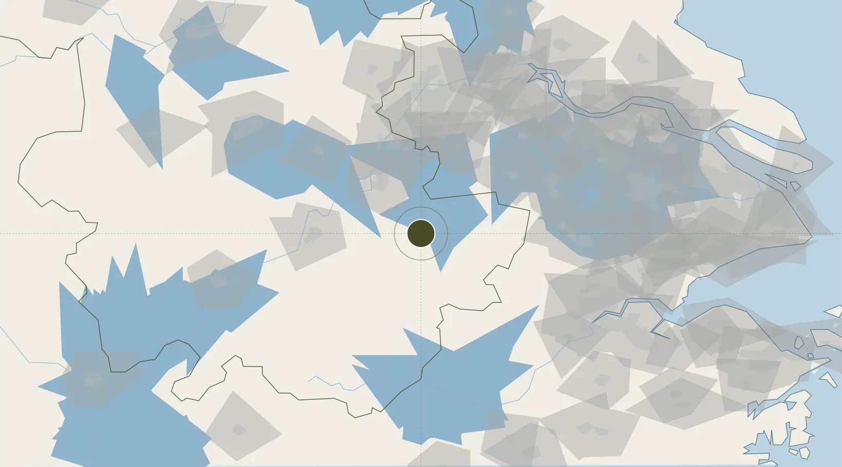
30.9424°, 118.7235°
8,000 ha
Zone area
126.9 km
Nearest port
18.8 km
Nearest airport

Gateway access

Nearest neighbours — logibook spatial index (haversine) over the source coordinates

Zone profile

Zone type
Export Processing Zone
Open Zone Map
Region
Anhui
Open Zone Map
Status
Active
Open Zone Map
Management
Public
Open Zone Map
Operator
Xuancheng Economic and Technological Development Zone Management Committee
Open Zone Map
Legal framework
Unavailable
Open Zone Map

Location

Location of ozm-1449
Natural Earth 10m (public domain) · Anhui · ozm-1449 · 30.94, 118.72GoogleOSMYandex

Nearby Logistics Neighbours

Ports
  1. 1Nanjing127 km
  2. 2Zhenjiang157 km
  3. 3Yangzhou162 km
  4. 4Changzhou165 km
  5. 5Jiangyin180 km
Nearest neighbours — logibook spatial index (haversine) over the source coordinates
Airports
  1. 1Wuhu Xuanzhou Airport19 km
  2. 2Anji Tianzihu General Airport84 km
  3. 3Nanjing Lukou International Airport89 km
  4. 4Chizhou Jiuhuashan Airport102 km
  5. 5Huangshan Tunxi International Airport142 km
Nearest neighbours — logibook spatial index (haversine) over the source coordinates
Cities
  1. 1Xuancheng18 km
  2. 2Wuhu61 km
  3. 3zhengpugang Pt83 km
  4. 4Tongling88 km
  5. 5Ma'anshan90 km
Nearest neighbours — logibook spatial index (haversine) over the source coordinates
Trade Zones
  1. 1Xinwu Economic Development Zone24 km
  2. 2Nanling Industrial Park38 km
  3. 3Anhui Nanling Economic Development Zone39 km
  4. 4Gaochun High-tech Industrial Development Zone49 km
  5. 5Langxi Economic Development Zone54 km
Nearest neighbours — logibook spatial index (haversine) over the source coordinates
DatabookThe Record of Consolidated Knowledge
China beyond logistics?
Browse databook

All Sources

Trade ZonesOpen Zone Map
CC BY
Portsthe NGA World Port Index
Public domain (US gov)
AirportsOurAirports
Public domain
LocationsUN/LOCODE
UN/LOCODE — free
← China trade zones