Specialized Zone · China

Xinwu Economic Development Zone Active
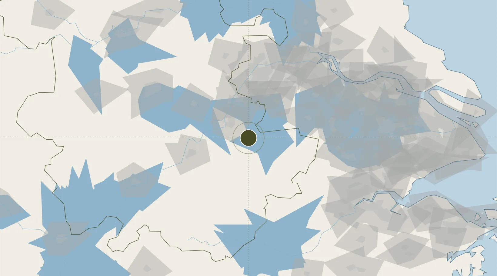
31.1498°, 118.6408°
11,500 ha
Zone area
104.3 km
Nearest port
5.6 km
Nearest airport

Gateway access

Nearest neighbours — logibook spatial index (haversine) over the source coordinates

Zone profile

Zone type
Specialized Zone
Open Zone Map
Specialization
Manufacturing
Open Zone Map
Region
Anhui
Open Zone Map
Status
Active
Open Zone Map
Management
Public
Open Zone Map
Operator
Administrative Committee of Anhui Xinwu Economic Development Zone
Open Zone Map
Legal framework
Anhui Xinwu Economic Development Zone was established in 2001 on the barren hills along the Hefei-Hangzhou (Zhou) expressway in accordance with the strategic deployment of wuhu Municipal Party Committee and municipal government of "industrial concentratio
Open Zone Map

Location

Location of ozm-1597
Natural Earth 10m (public domain) · Anhui · ozm-1597 · 31.15, 118.64GoogleOSMYandex

Nearby Logistics Neighbours

Ports
  1. 1Nanjing104 km
  2. 2Zhenjiang140 km
  3. 3Yangzhou145 km
  4. 4Changzhou156 km
  5. 5Gaogang170 km
Nearest neighbours — logibook spatial index (haversine) over the source coordinates
Airports
  1. 1Wuhu Xuanzhou Airport6 km
  2. 2Nanjing Lukou International Airport69 km
  3. 3Anji Tianzihu General Airport99 km
  4. 4Chizhou Jiuhuashan Airport102 km
  5. 5Feidong Air Base126 km
Nearest neighbours — logibook spatial index (haversine) over the source coordinates
Cities
  1. 1Xuancheng31 km
  2. 2Wuhu39 km
  3. 3zhengpugang Pt59 km
  4. 4Ma'anshan65 km
  5. 5Wujiang82 km
Nearest neighbours — logibook spatial index (haversine) over the source coordinates
DatabookThe Record of Consolidated Knowledge
China beyond logistics?
Browse databook

All Sources

Trade ZonesOpen Zone Map
CC BY
Portsthe NGA World Port Index
Public domain (US gov)
AirportsOurAirports
Public domain
LocationsUN/LOCODE
UN/LOCODE — free
← China trade zones