Diversified Zone · China

Anhui Nanling Economic Development Zone Active
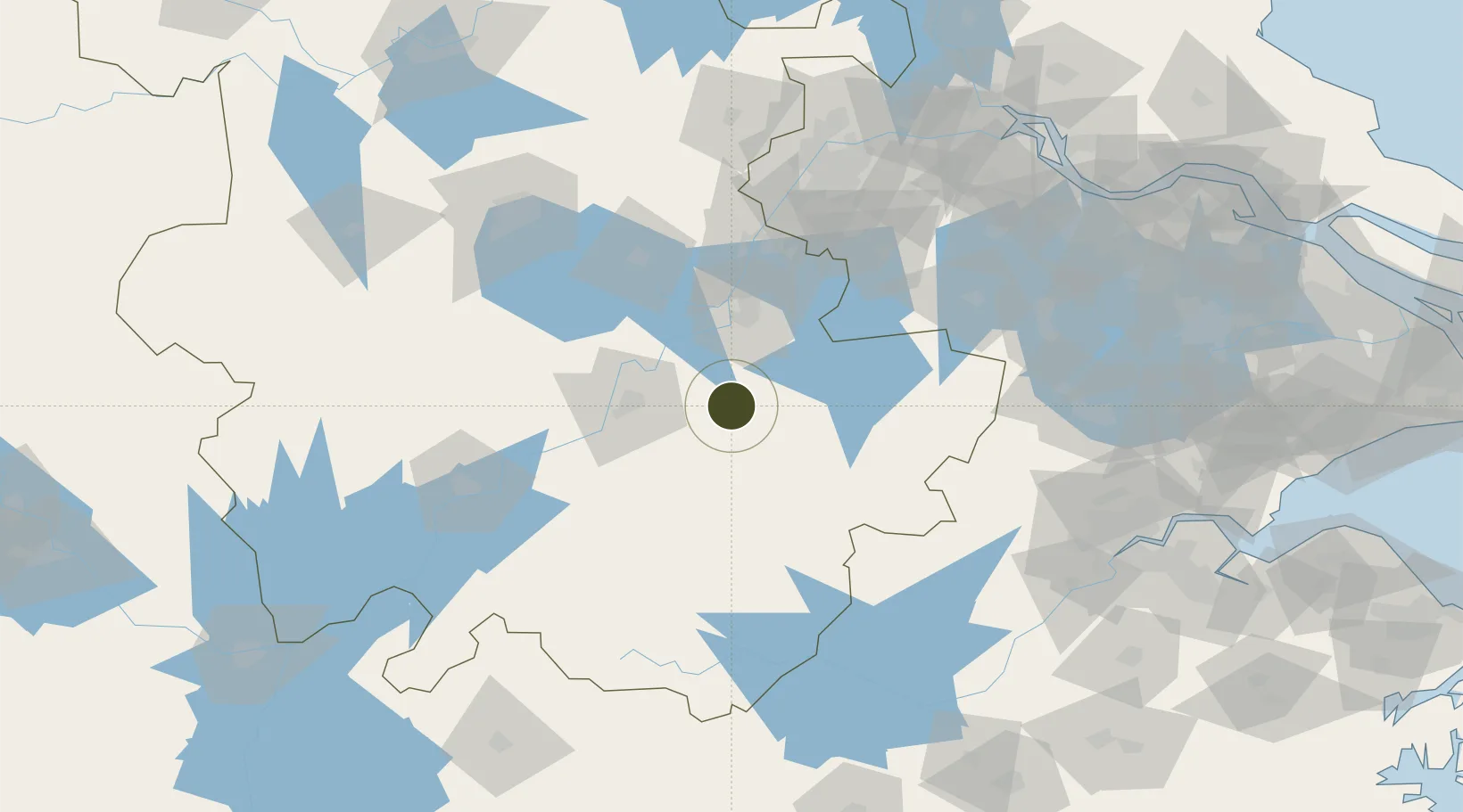
30.9205°, 118.3180°
4,300 ha
Zone area
135.6 km
Nearest port
39.0 km
Nearest airport

Gateway access

Nearest neighbours — logibook spatial index (haversine) over the source coordinates

Zone profile

Zone type
Diversified Zone
Open Zone Map
Region
Anhui
Open Zone Map
Status
Active
Open Zone Map
Management
Public
Open Zone Map
Operator
Anhui Nanling Development Zone Administrative Committee
Open Zone Map
Legal framework
It was established in September 2000 and approved as anhui Provincial development zone by National Development and Reform Commission in April 2006
Open Zone Map

Location

Location of ozm-933
Natural Earth 10m (public domain) · Anhui · ozm-933 · 30.92, 118.32GoogleOSMYandex

Nearby Logistics Neighbours

Ports
  1. 1Nanjing136 km
  2. 2Zhenjiang179 km
  3. 3Yangzhou183 km
  4. 4Changzhou196 km
  5. 5Gaogang210 km
Nearest neighbours — logibook spatial index (haversine) over the source coordinates
Airports
  1. 1Wuhu Xuanzhou Airport39 km
  2. 2Chizhou Jiuhuashan Airport64 km
  3. 3Nanjing Lukou International Airport105 km
  4. 4Anji Tianzihu General Airport122 km
  5. 5Feidong Air Base127 km
Nearest neighbours — logibook spatial index (haversine) over the source coordinates
Cities
  1. 1Xuancheng23 km
  2. 2Tongling49 km
  3. 3Wuhu53 km
  4. 4zhengpugang Pt80 km
  5. 5Chaohu88 km
Nearest neighbours — logibook spatial index (haversine) over the source coordinates
DatabookThe Record of Consolidated Knowledge
China beyond logistics?
Browse databook

All Sources

Trade ZonesOpen Zone Map
CC BY
Portsthe NGA World Port Index
Public domain (US gov)
AirportsOurAirports
Public domain
LocationsUN/LOCODE
UN/LOCODE — free
← China trade zones