Export Processing Zone · China

Luhe County Industrial Transfer Industrial Park Active
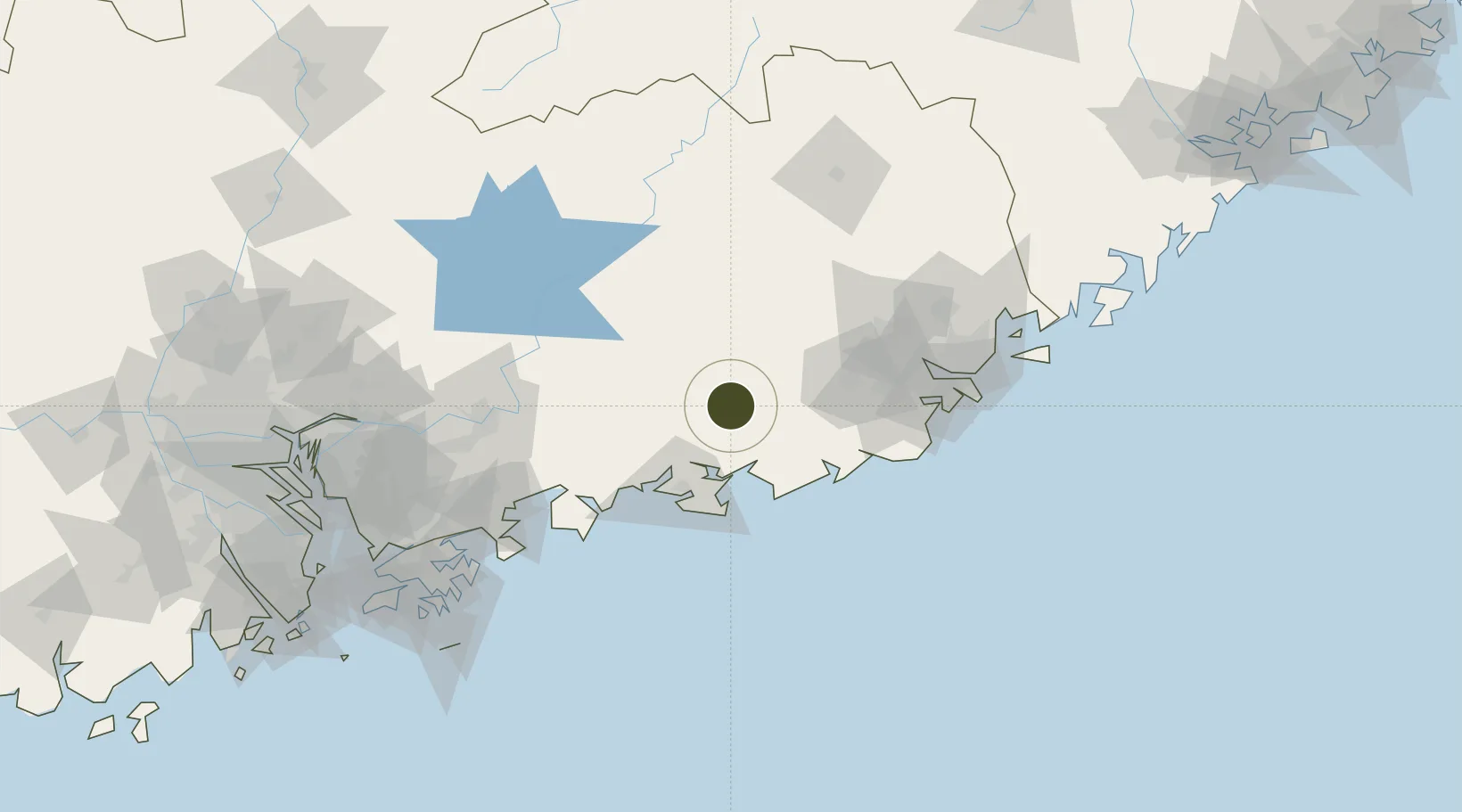
23.1939°, 115.6025°
32,665 ha
Zone area
123.2 km
Nearest port
100.2 km
Nearest airport

Gateway access

Nearest neighbours — logibook spatial index (haversine) over the source coordinates

Zone profile

Zone type
Export Processing Zone
Open Zone Map
Region
Guangdong
Open Zone Map
Status
Active
Open Zone Map
Management
Public
Open Zone Map
Operator
Working Committee of Luhe County Industrial Transfer Industrial Park
Open Zone Map
Legal framework
Luhe County industrial transfer Industrial park the first phase of the construction area control detailed planning
Open Zone Map

Location

Location of ozm-1477
Natural Earth 10m (public domain) · Guangdong · ozm-1477 · 23.19, 115.60GoogleOSMYandex

Nearby Logistics Neighbours

Ports
  1. 1Huizhou123 km
  2. 2Yantian153 km
  3. 3Chaozhou158 km
  4. 4Hong Kong177 km
  5. 5Shekou195 km
Nearest neighbours — logibook spatial index (haversine) over the source coordinates
Airports
  1. 1Jieyang Chaoshan International Airport100 km
  2. 2Huizhou Pingtan Airport104 km
  3. 3Meizhou Meixian Changgangji International Airport129 km
  4. 4Shek Kong Air Base177 km
  5. 5Shun Tak Heliport180 km
Nearest neighbours — logibook spatial index (haversine) over the source coordinates
Cities
  1. 1Donghai27 km
  2. 2Lufeng27 km
  3. 3Wukan39 km
  4. 4Shanwei53 km
  5. 5Mabian Island54 km
Nearest neighbours — logibook spatial index (haversine) over the source coordinates
DatabookThe Record of Consolidated Knowledge
China beyond logistics?
Browse databook

All Sources

Trade ZonesOpen Zone Map
CC BY
Portsthe NGA World Port Index
Public domain (US gov)
AirportsOurAirports
Public domain
LocationsUN/LOCODE
UN/LOCODE — free
← China trade zones