Export Processing Zone · China

Lufeng Donghai Economic Development Zone Active
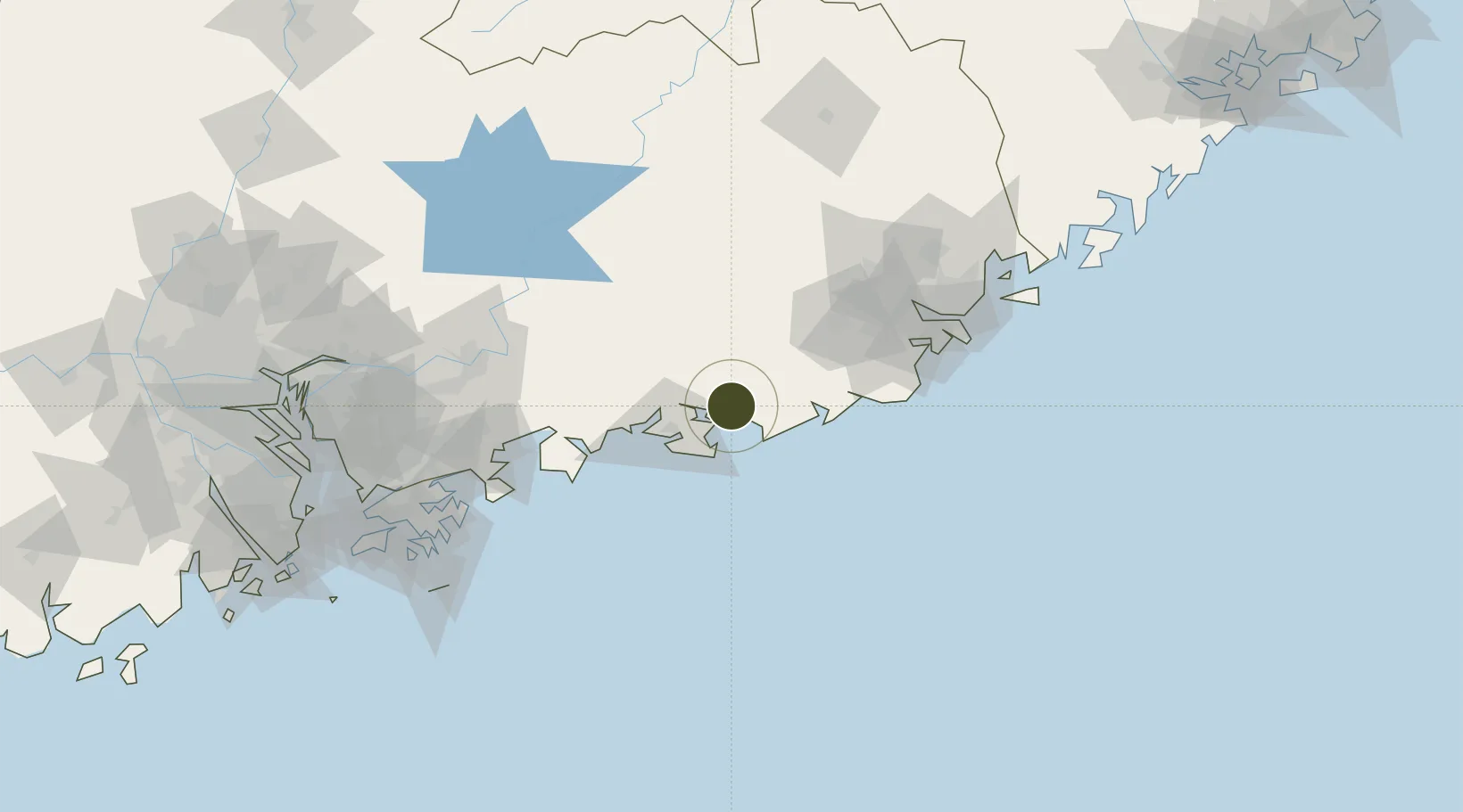
22.9141°, 115.6576°
4,200 ha
Zone area
119.0 km
Nearest port
109.3 km
Nearest airport

Gateway access

Nearest neighbours — logibook spatial index (haversine) over the source coordinates

Zone profile

Zone type
Export Processing Zone
Open Zone Map
Region
Guangdong
Open Zone Map
Status
Active
Open Zone Map
Management
Public
Open Zone Map
Operator
Management Committee of Lufeng Donghai Economic Development Zone
Open Zone Map
Legal framework
Lufeng Donghai Economic Development Zone of Guangdong province was approved by Shanwei Municipal people's Government and Guangdong Provincial People's Government in March 1994
Open Zone Map

Location

Location of ozm-1417
Natural Earth 10m (public domain) · Guangdong · ozm-1417 · 22.91, 115.66GoogleOSMYandex

Nearby Logistics Neighbours

Ports
  1. 1Huizhou119 km
  2. 2Yantian147 km
  3. 3Chaozhou165 km
  4. 4Hong Kong166 km
  5. 5Shekou190 km
Nearest neighbours — logibook spatial index (haversine) over the source coordinates
Airports
  1. 1Huizhou Pingtan Airport109 km
  2. 2Jieyang Chaoshan International Airport112 km
  3. 3Meizhou Meixian Changgangji International Airport157 km
  4. 4Shun Tak Heliport169 km
  5. 5Shek Kong Air Base170 km
Nearest neighbours — logibook spatial index (haversine) over the source coordinates
Cities
  1. 1Donghai5 km
  2. 2Lufeng5 km
  3. 3Wukan7 km
  4. 4Shanwei35 km
  5. 5Jiazi41 km
Nearest neighbours — logibook spatial index (haversine) over the source coordinates
DatabookThe Record of Consolidated Knowledge
China beyond logistics?
Browse databook

All Sources

Trade ZonesOpen Zone Map
CC BY
Portsthe NGA World Port Index
Public domain (US gov)
AirportsOurAirports
Public domain
LocationsUN/LOCODE
UN/LOCODE — free
← China trade zones