UN/LOCODE hub · China
CNWUK

Wukan

22.8500°, 115.6500°
1
Transport functions

Transport Functions

Port
UN/LOCODE

Hub Profile

Place type
Populated place
GeoNames
Region
Guangdong
GeoNames
Time zone
Asia/Shanghai
GeoNames
Elevation
5 m
GeoNames

Location

Location of CNWUK
Natural Earth 10m (public domain) · Guangdong · CNWUK · 22.85, 115.65GoogleOSMYandex

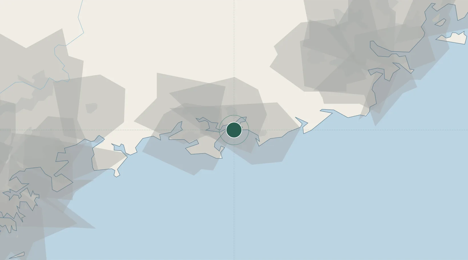
Nearby Logistics Neighbours

Cities
  1. 1Donghai11 km
  2. 2Lufeng11 km
  3. 3Shanwei32 km
  4. 4Jiazi41 km
  5. 5Mabian Island65 km
Nearest neighbours — logibook spatial index (haversine) over the source coordinates
Ports
  1. 1Huizhou117 km
  2. 2Yantian145 km
  3. 3Hong Kong162 km
  4. 4Chaozhou170 km
  5. 5Shekou188 km
Nearest neighbours — logibook spatial index (haversine) over the source coordinates
Airports
  1. 1Huizhou Pingtan Airport110 km
  2. 2Jieyang Chaoshan International Airport117 km
  3. 3Meizhou Meixian Changgangji International Airport164 km
  4. 4Shun Tak Heliport166 km
  5. 5Shek Kong Air Base168 km
Nearest neighbours — logibook spatial index (haversine) over the source coordinates
DatabookThe Record of Consolidated Knowledge
China beyond logistics?
Browse databook

All Sources

LocationsUN/LOCODE
UN/LOCODE — free
Portsthe NGA World Port Index
Public domain (US gov)
AirportsOurAirports
Public domain
Trade Zonesthe World Bank SEZ database
CC BY 4.0
Trade ZonesOpen Zone Map
CC BY
← China locations