Large airport · China

Wenzhou Longwan International AirportZSWZ
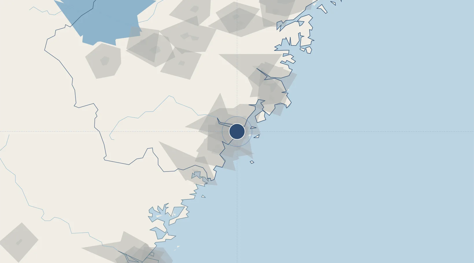
27.9106°, 120.8535°
10,499 ft
Longest runway
1
Runways
13 ft
Elevation

Runway & Layout

Wenzhou Longwan International Airport runway & taxiway layout
Runway & taxiway layout — OpenStreetMap (ODbL) / OurAirports

Runways · 1

RunwayDimensions SurfaceTrue headingLit
03/21 10,499 × 148ft Concrete
OurAirports

Airport Specifications

IATA code
WNZ
OurAirports
ICAO code
ZSWZ
OurAirports
Airport class
Large airport
OurAirports
Scheduled service
Yes
OurAirports
Runway surface
Concrete
OurAirports
Served city
Wenzhou (Longwan)
OurAirports

Location

Location of ZSWZ
Natural Earth 10m (public domain) · Zhejiang · ZSWZ · 27.91, 120.85GoogleOSMYandex

Nearby Logistics Neighbours

Airports
  1. 1Taizhou Luqiao Airport92 km
  2. 2Yiwu Airport178 km
  3. 3Matsu Beigan Airport206 km
  4. 4Matsu Nangan Airport214 km
  5. 5Ningbo Lishe International Airport221 km
Nearest neighbours — logibook spatial index (haversine) over the source coordinates
Cities
  1. 1Wenzhou1 km
  2. 2Wenzhou Pt8 km
  3. 3Zhuangyuanao26 km
  4. 4Yongjia31 km
  5. 5Damaiyu35 km
Nearest neighbours — logibook spatial index (haversine) over the source coordinates
Ports
  1. 1Wenzhou23 km
  2. 2Haimen104 km
  3. 3Ningbo230 km
  4. 4Zhen Hai241 km
  5. 5Fuzhou255 km
Nearest neighbours — logibook spatial index (haversine) over the source coordinates
DatabookThe Record of Consolidated Knowledge
China beyond logistics?
Browse databook

All Sources

AirportsOurAirports
Public domain
Portsthe NGA World Port Index
Public domain (US gov)
LocationsUN/LOCODE
UN/LOCODE — free
Trade Zonesthe World Bank SEZ database
CC BY 4.0
Trade ZonesOpen Zone Map
CC BY
InfrastructureOpenStreetMap
ODbL 1.0
← China airports