Transport Functions
Port
Multimodal
Hub Profile
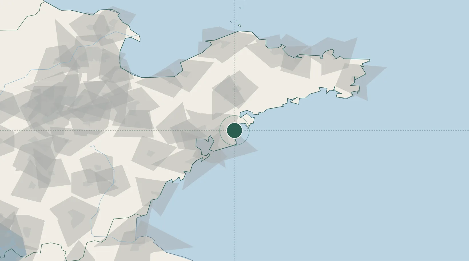
Place type
Populated place
Region
Shandong
Time zone
Asia/Shanghai
Elevation
12 m
Location
Nearby Logistics Neighbours
Ports
- 1Qingdao Gang50 km
- 2Rizhao146 km
- 3Longkou Gang147 km
- 4Yantai151 km
- 5Penglai164 km
Airports
- 1Qingdao Jiaodong International Airport52 km
- 2Jiaozhou Jiaocheng Air Base58 km
- 3Laiyang Air Base69 km
- 4Zhucheng Air Base116 km
- 5Weifang Nanyuan Airport142 km
DatabookThe Record of Consolidated Knowledge
China beyond logistics?