Transport Functions
Rail
Hub Profile
Region
GX
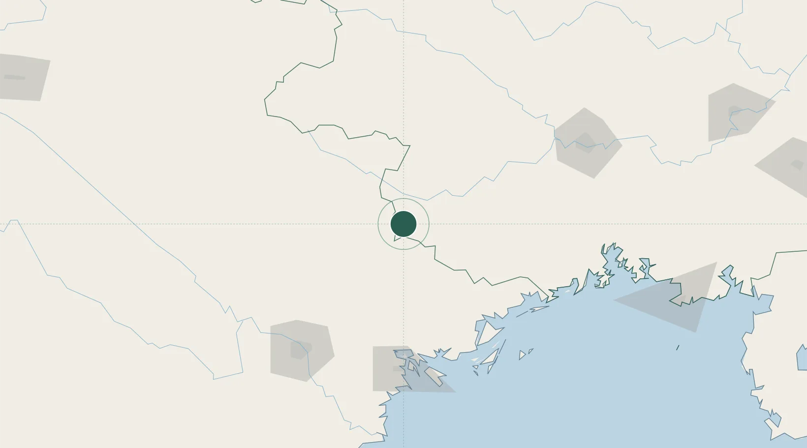
Location
Nearby Logistics Neighbours
Cities
- 1Shuolong76 km
- 2Thái Nguyên109 km
- 3Gia Lam120 km
- 4Ha Long131 km
- 5Hanoi134 km
Ports
- 1Hai Phong134 km
- 2Hon Gai134 km
- 3Cam Pha137 km
- 4Fang-Cheng172 km
- 5Qinzhou196 km
Airports
- 1Baihe Ningming Air Base40 km
- 2Van Don International Airport131 km
- 3Noi Bai International Airport138 km
- 4Cat Bi International Airport145 km
- 5Gia Lam Air Base148 km
DatabookThe Record of Consolidated Knowledge
China beyond logistics?