Diversified Zone · China

Zhongtai Chongzuo Industrial Park Active
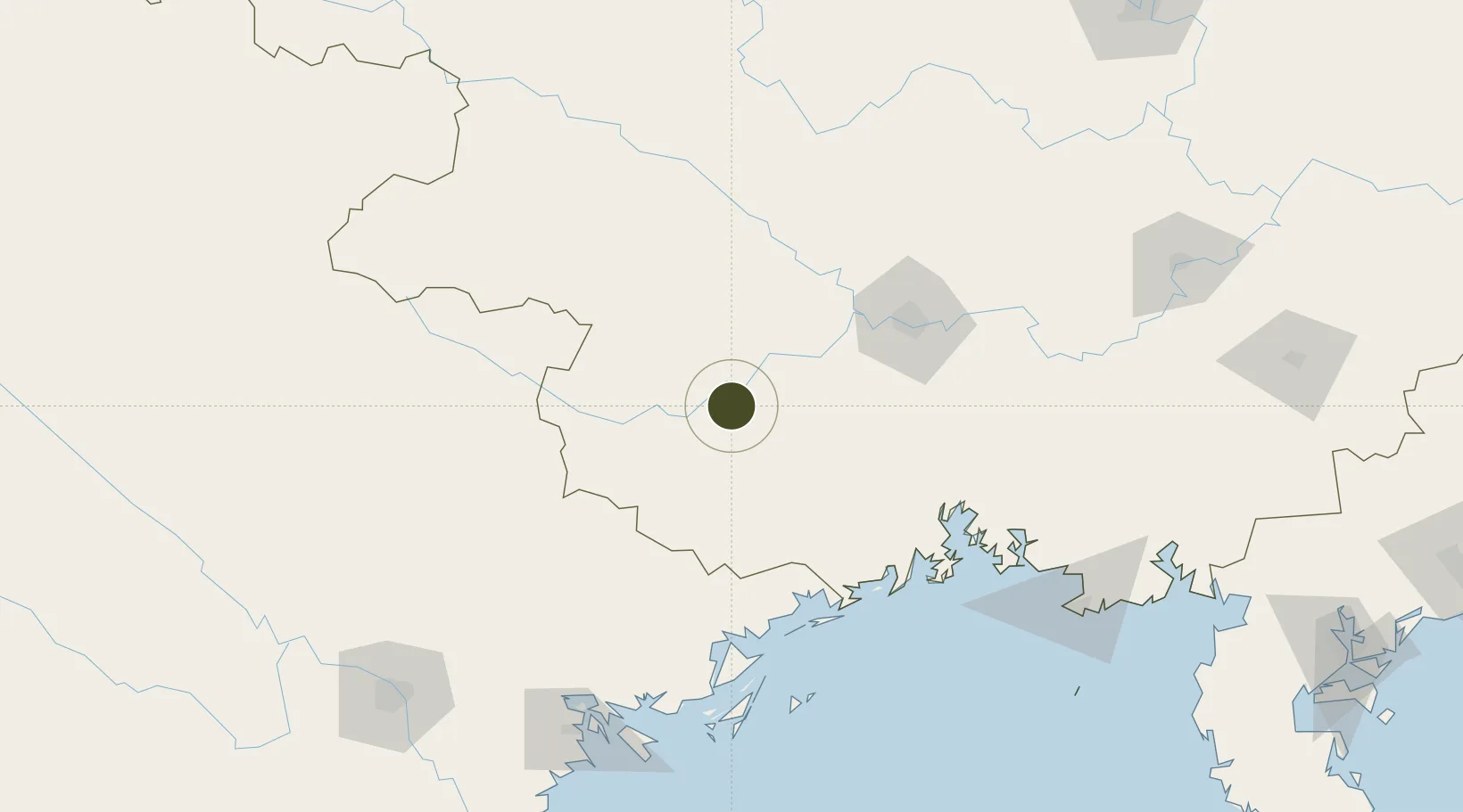
22.4080°, 107.4581°
997 ha
Zone area
117.5 km
Nearest port
46.9 km
Nearest airport

Gateway access

Nearest neighbours — logibook spatial index (haversine) over the source coordinates

Zone profile

Zone type
Diversified Zone
Open Zone Map
Region
Guangxi
Open Zone Map
Status
Active
Open Zone Map
Management
Public
Open Zone Map
Operator
China-Thailand Chongzuo Industrial Park Management Committee
Open Zone Map
Legal framework
Guangxi Provincial Committee of the Communist Party of China, Guangxi Provincial People's Government: Decision on Accelerating the Construction of a Modern Industrial System (July 27, 2020), Several Opinions of the General Office of the State Council on P
Open Zone Map

Location

Location of ozm-5301
Natural Earth 10m (public domain) · Guangxi · ozm-5301 · 22.41, 107.46GoogleOSMYandex

Nearby Logistics Neighbours

Ports
  1. 1Fang-Cheng118 km
  2. 2Qinzhou138 km
  3. 3Cam Pha153 km
  4. 4Hon Gai167 km
  5. 5Hai Phong184 km
Nearest neighbours — logibook spatial index (haversine) over the source coordinates
Airports
  1. 1Baihe Ningming Air Base47 km
  2. 2Nanning Wuxu International Airport77 km
  3. 3Van Don International Airport143 km
  4. 4Baise (Bose) Bama Airport155 km
  5. 5Cat Bi International Airport192 km
Nearest neighbours — logibook spatial index (haversine) over the source coordinates
Cities
  1. 1Shuolong80 km
  2. 2Pingxiang Railway Station81 km
  3. 3Nanning98 km
  4. 4Dongxing116 km
  5. 5Jiangshan Pt120 km
Nearest neighbours — logibook spatial index (haversine) over the source coordinates
DatabookThe Record of Consolidated Knowledge
China beyond logistics?
Browse databook

All Sources

Trade ZonesOpen Zone Map
CC BY
Portsthe NGA World Port Index
Public domain (US gov)
AirportsOurAirports
Public domain
LocationsUN/LOCODE
UN/LOCODE — free
← China trade zones