Transport Functions
Port
Hub Profile
Place type
Local administrative seat
Region
Hainan
Time zone
Asia/Shanghai
Elevation
11 m
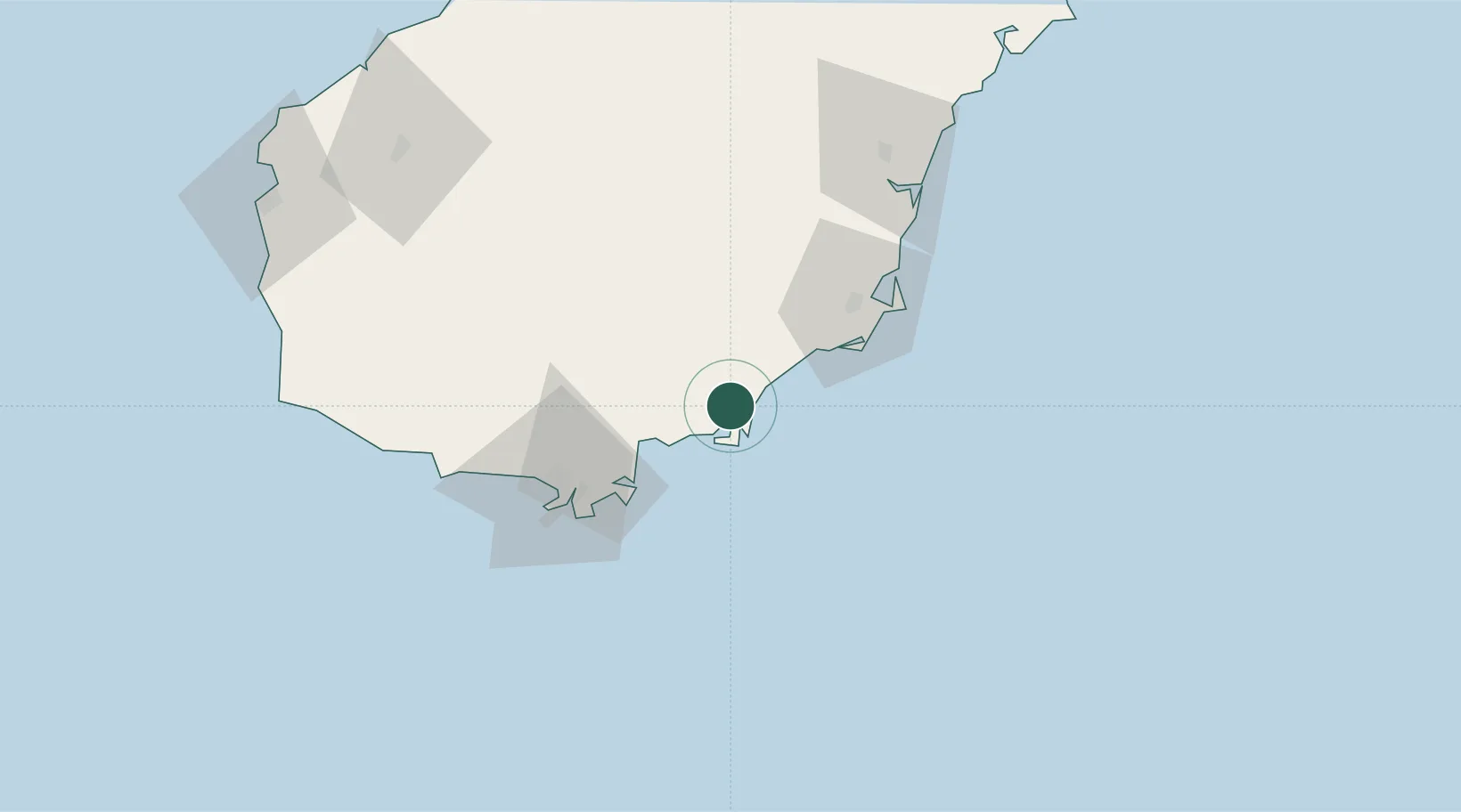
Location
Nearby Logistics Neighbours
Cities
- 1Wanning51 km
- 2Tanmen94 km
- 3Dongfang129 km
- 4Qinglan Pt144 km
- 5Yangpu Pt154 km
Airports
- 1Lingshui Air Base3 km
- 2Sanya Air Base63 km
- 3Sanya Phoenix International Airport68 km
- 4Qionghai Bo'ao Airport85 km
- 5Foluo Northeast Air Base93 km
DatabookThe Record of Consolidated Knowledge
China beyond logistics?