Export Processing Zone · China

Guangdong Fenyong ASEAN Industrial Park Active
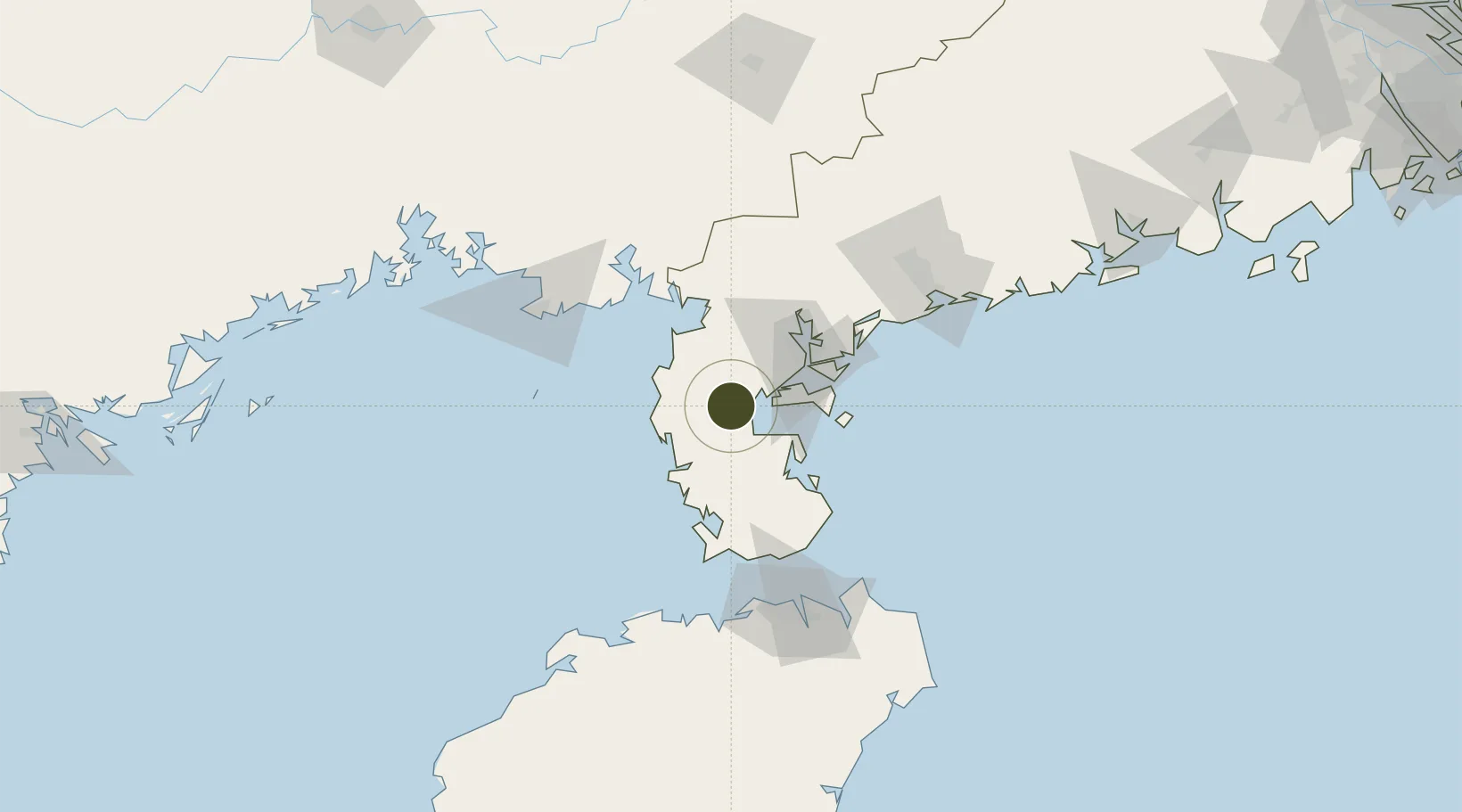
20.9861°, 110.0485°
4,600 ha
Zone area
43.5 km
Nearest port
48.2 km
Nearest airport

Gateway access

Nearest neighbours — logibook spatial index (haversine) over the source coordinates

Zone profile

Zone type
Export Processing Zone
Open Zone Map
Region
Guangdong
Open Zone Map
Status
Active
Open Zone Map
Management
Public
Open Zone Map
Operator
Working Committee of Guangdong Fenyong ASEAN Industrial Park
Open Zone Map
Legal framework
Zhanjiang Courant High-tech Zone Industrial Park (2019-2022) Development plan
Open Zone Map

Location

Location of ozm-1423
Natural Earth 10m (public domain) · Guangdong · ozm-1423 · 20.99, 110.05GoogleOSMYandex

Nearby Logistics Neighbours

Ports
  1. 1Zhanjiang44 km
  2. 2Haikou107 km
  3. 3Chiwan113 km
  4. 4Beihai116 km
  5. 5Shui Dong121 km
Nearest neighbours — logibook spatial index (haversine) over the source coordinates
Airports
  1. 1Suixi Air Base48 km
  2. 2Zhanjiang Wuchuan International Airport79 km
  3. 3Beihai Fucheng Airport100 km
  4. 4Haikou Meilan International Airport125 km
  5. 5Jialaishi Air Base147 km
Nearest neighbours — logibook spatial index (haversine) over the source coordinates
Cities
  1. 1Liusha10 km
  2. 2Dongguo38 km
  3. 3Chikan43 km
  4. 4Beitan47 km
  5. 5Zhanjiang Pt48 km
Nearest neighbours — logibook spatial index (haversine) over the source coordinates
DatabookThe Record of Consolidated Knowledge
China beyond logistics?
Browse databook

All Sources

Trade ZonesOpen Zone Map
CC BY
Portsthe NGA World Port Index
Public domain (US gov)
AirportsOurAirports
Public domain
LocationsUN/LOCODE
UN/LOCODE — free
← China trade zones