Large airport · China

Sanya Phoenix International AirportZJSY
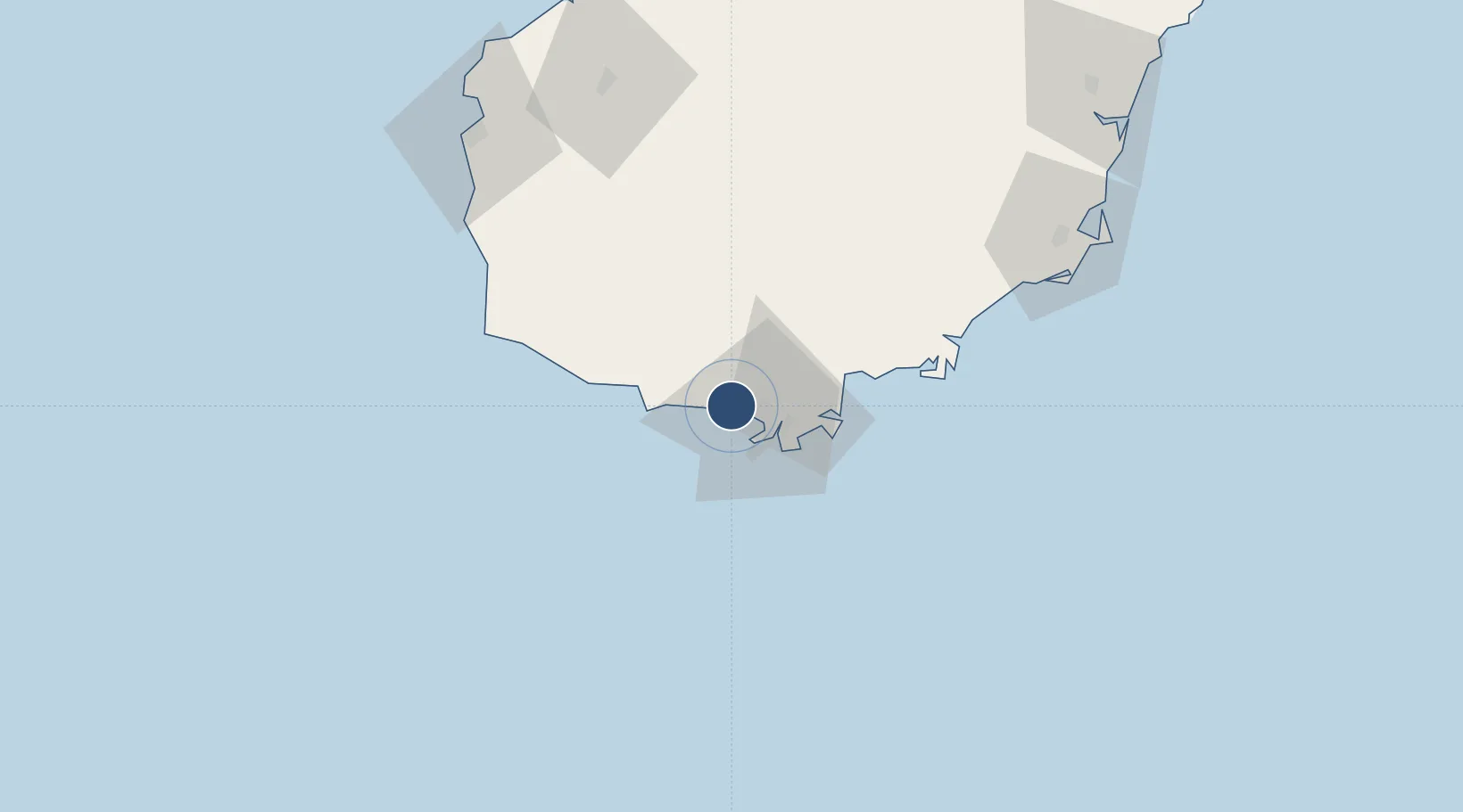
18.3029°, 109.4120°
11,155 ft
Longest runway
1
Runways
92 ft
Elevation

Runway & Layout

Sanya Phoenix International Airport runway & taxiway layout
Runway & taxiway layout — OpenStreetMap (ODbL) / OurAirports

Radio Frequencies

TWR
118.15 MHz
FENGHUANG TWR
OurAirports

Navaids

SYX VOR-DME Sanya 112.50 MHz
WL NDB Baolong 426 kHz
OurAirports

Runways · 1

RunwayDimensions SurfaceTrue headingLit
08/26 11,155 × 148ft Concrete 082°
OurAirports

Airport Specifications

IATA code
SYX
OurAirports
ICAO code
ZJSY
OurAirports
Airport class
Large airport
OurAirports
Scheduled service
Yes
OurAirports
Runway surface
Concrete
OurAirports
Served city
Sanya (Tianya)
OurAirports

Location

Location of ZJSY
Natural Earth 10m (public domain) · Hainan · ZJSY · 18.30, 109.41GoogleOSMYandex

Nearby Logistics Neighbours

Airports
  1. 1Sanya Air Base6 km
  2. 2Foluo Northeast Air Base51 km
  3. 3Lingshui Air Base64 km
  4. 4Qionghai Bo'ao Airport144 km
  5. 5Jialaishi Air Base159 km
Nearest neighbours — logibook spatial index (haversine) over the source coordinates
Cities
  1. 1Xincun68 km
  2. 2Dongfang97 km
  3. 3Basuo Pt114 km
  4. 4Wanning116 km
  5. 5Yangpu Pt149 km
Nearest neighbours — logibook spatial index (haversine) over the source coordinates
Ports
  1. 1Sanya4 km
  2. 2Basuo122 km
  3. 3Yangpu161 km
  4. 4Chiwan196 km
  5. 5Haikou215 km
Nearest neighbours — logibook spatial index (haversine) over the source coordinates
DatabookThe Record of Consolidated Knowledge
China beyond logistics?
Browse databook

All Sources

AirportsOurAirports
Public domain
Portsthe NGA World Port Index
Public domain (US gov)
LocationsUN/LOCODE
UN/LOCODE — free
Trade Zonesthe World Bank SEZ database
CC BY 4.0
Trade ZonesOpen Zone Map
CC BY
InfrastructureOpenStreetMap
ODbL 1.0
← China airports