Transport Functions
Port
Hub Profile
Place type
Populated place
Region
Hainan
Time zone
Asia/Shanghai
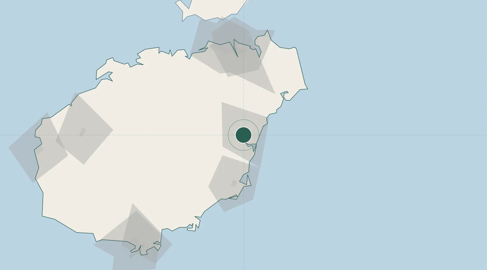
Location
Nearby Logistics Neighbours
Cities
- 1Wanning49 km
- 2Qinglan Pt51 km
- 3Haikou90 km
- 4Macun93 km
- 5Xincun94 km
Airports
- 1Qionghai Bo'ao Airport10 km
- 2Haikou Meilan International Airport78 km
- 3Jialaishi Air Base93 km
- 4Lingshui Air Base96 km
- 5Sanya Air Base149 km
DatabookThe Record of Consolidated Knowledge
China beyond logistics?