Transport Functions
Port
Rail
Road
Hub Profile
Place type
Populated place
Region
Hainan
Time zone
Asia/Shanghai
Elevation
100 m
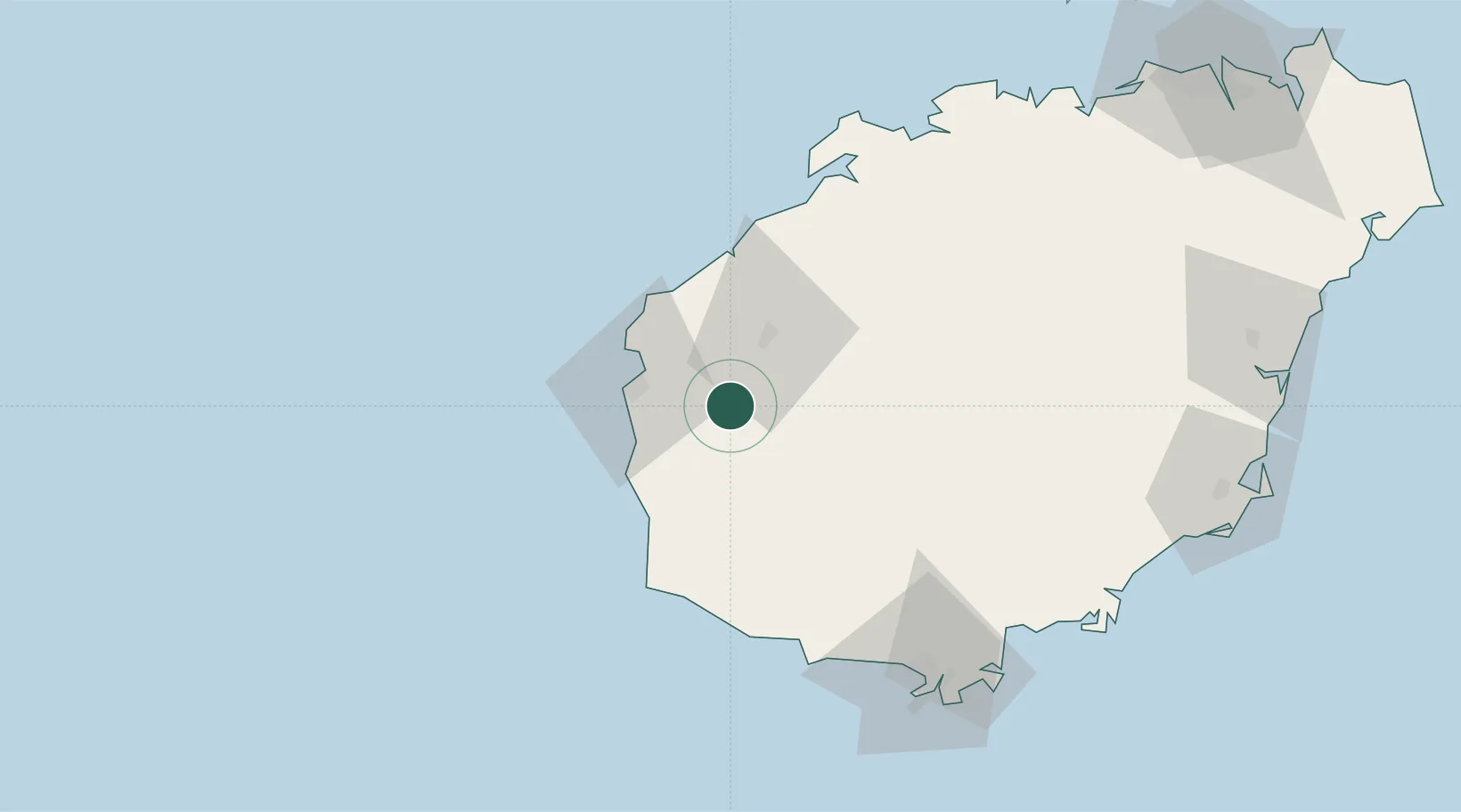
Location
Nearby Logistics Neighbours
Airports
- 1Foluo Northeast Air Base46 km
- 2Sanya Phoenix International Airport97 km
- 3Sanya Air Base102 km
- 4Jialaishi Air Base110 km
- 5Lingshui Air Base127 km
DatabookThe Record of Consolidated Knowledge
China beyond logistics?