Diversified Zone · China

Jinpai Port Economic Development Zone Active
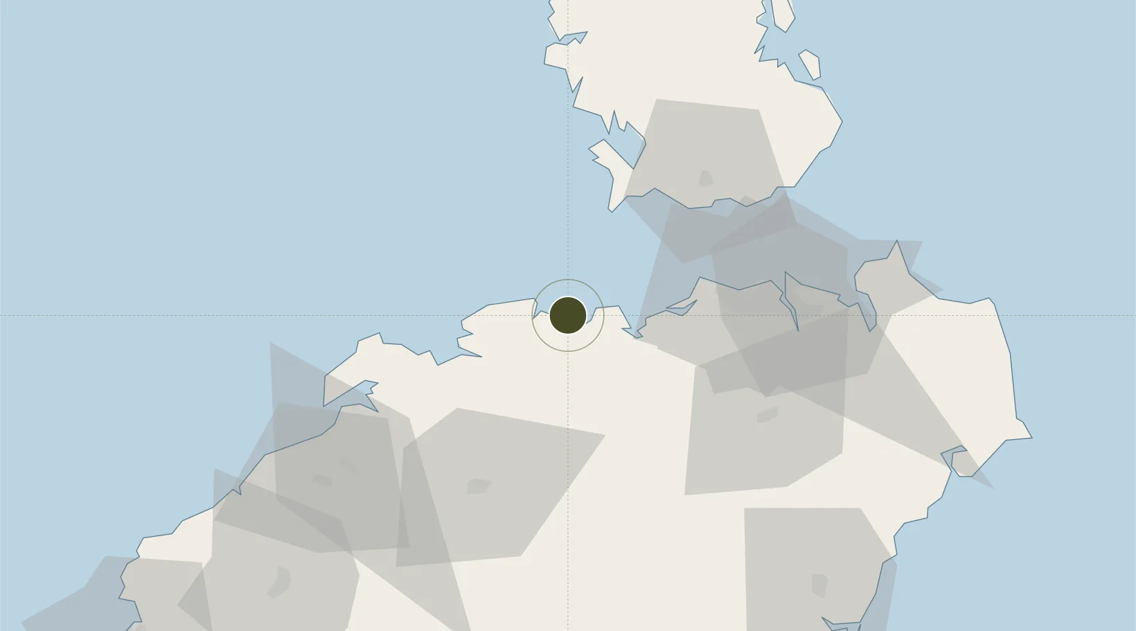
19.9657°, 109.8089°
990 ha
Zone area
23.5 km
Nearest port
31.1 km
Nearest airport

Gateway access

Nearest neighbours — logibook spatial index (haversine) over the source coordinates

Zone profile

Zone type
Diversified Zone
Open Zone Map
Region
Hainan
Open Zone Map
Status
Active
Open Zone Map
Management
Public
Open Zone Map
Operator
Management Committee of Jinpai Port Economic Development Zone
Open Zone Map
Legal framework
Regulations on Taxation Policies of National High-Tech Industrial Development Zones Approved by State Council of the People's Republic of China Mar 6, 1991; Administrative Measures for the Recognition of High-tech Enterprises; Ministry of Science and Tech
Open Zone Map

Location

Location of ozm-662
Natural Earth 10m (public domain) · Hainan · ozm-662 · 19.97, 109.81GoogleOSMYandex

Nearby Logistics Neighbours

Ports
  1. 1Chiwan24 km
  2. 2Haikou50 km
  3. 3Yangpu70 km
  4. 4Zhanjiang150 km
  5. 5Basuo158 km
Nearest neighbours — logibook spatial index (haversine) over the source coordinates
Airports
  1. 1Jialaishi Air Base31 km
  2. 2Haikou Meilan International Airport68 km
  3. 3Qionghai Bo'ao Airport114 km
  4. 4Foluo Northeast Air Base157 km
  5. 5Suixi Air Base164 km
Nearest neighbours — logibook spatial index (haversine) over the source coordinates
Cities
  1. 1Macun22 km
  2. 2Haikou Pt38 km
  3. 3Haikou50 km
  4. 4Xinying61 km
  5. 5Baimajing69 km
Nearest neighbours — logibook spatial index (haversine) over the source coordinates
DatabookThe Record of Consolidated Knowledge
China beyond logistics?
Browse databook

All Sources

Trade ZonesOpen Zone Map
CC BY
Portsthe NGA World Port Index
Public domain (US gov)
AirportsOurAirports
Public domain
LocationsUN/LOCODE
UN/LOCODE — free
← China trade zones