Transport Functions
Port
Hub Profile
Region
HI
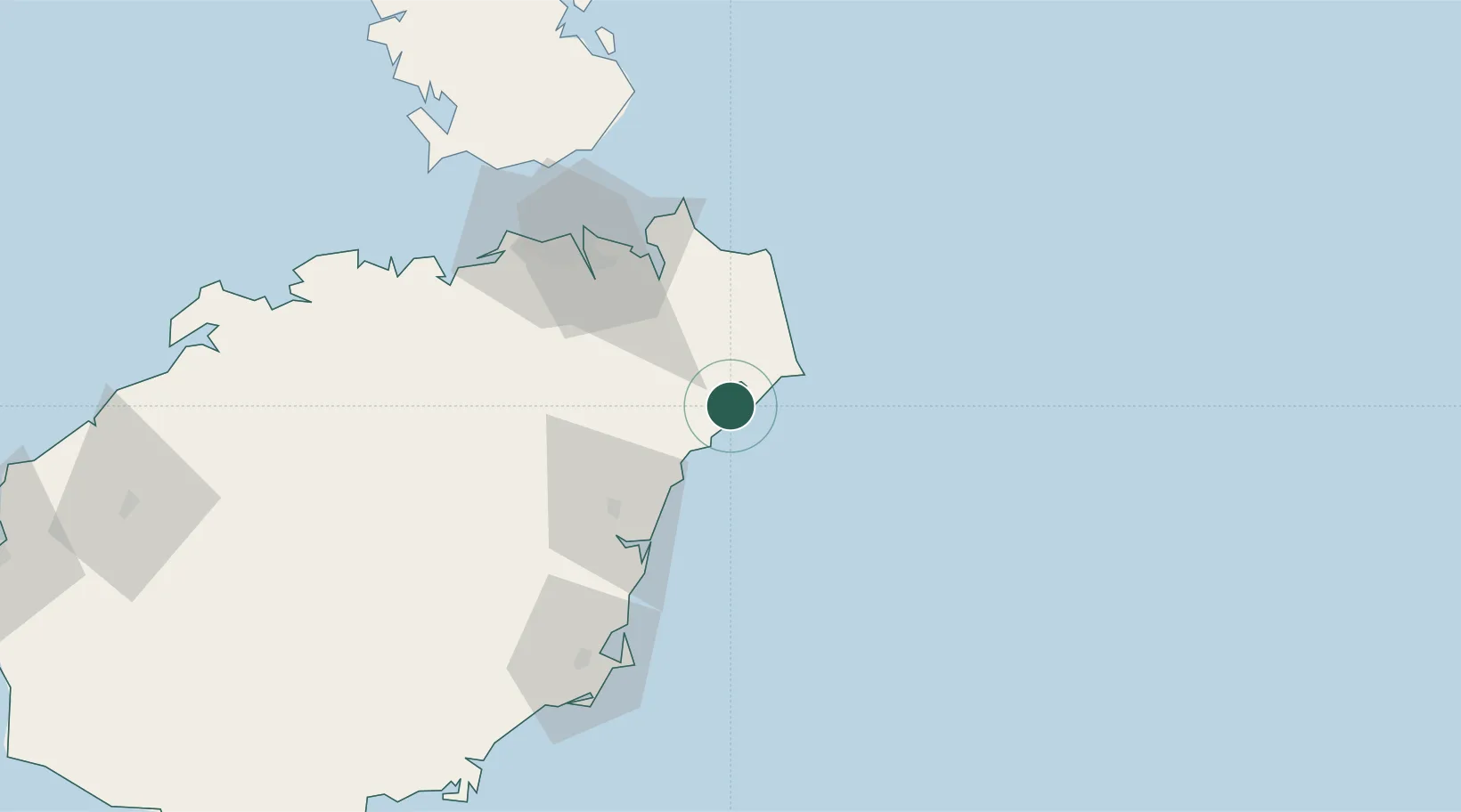
Location
Nearby Logistics Neighbours
Airports
- 1Haikou Meilan International Airport57 km
- 2Qionghai Bo'ao Airport59 km
- 3Jialaishi Air Base115 km
- 4Lingshui Air Base146 km
- 5Foluo Northeast Air Base198 km
DatabookThe Record of Consolidated Knowledge
China beyond logistics?