Export Processing Zone · China

Longwan Port Economic Development Zone Active
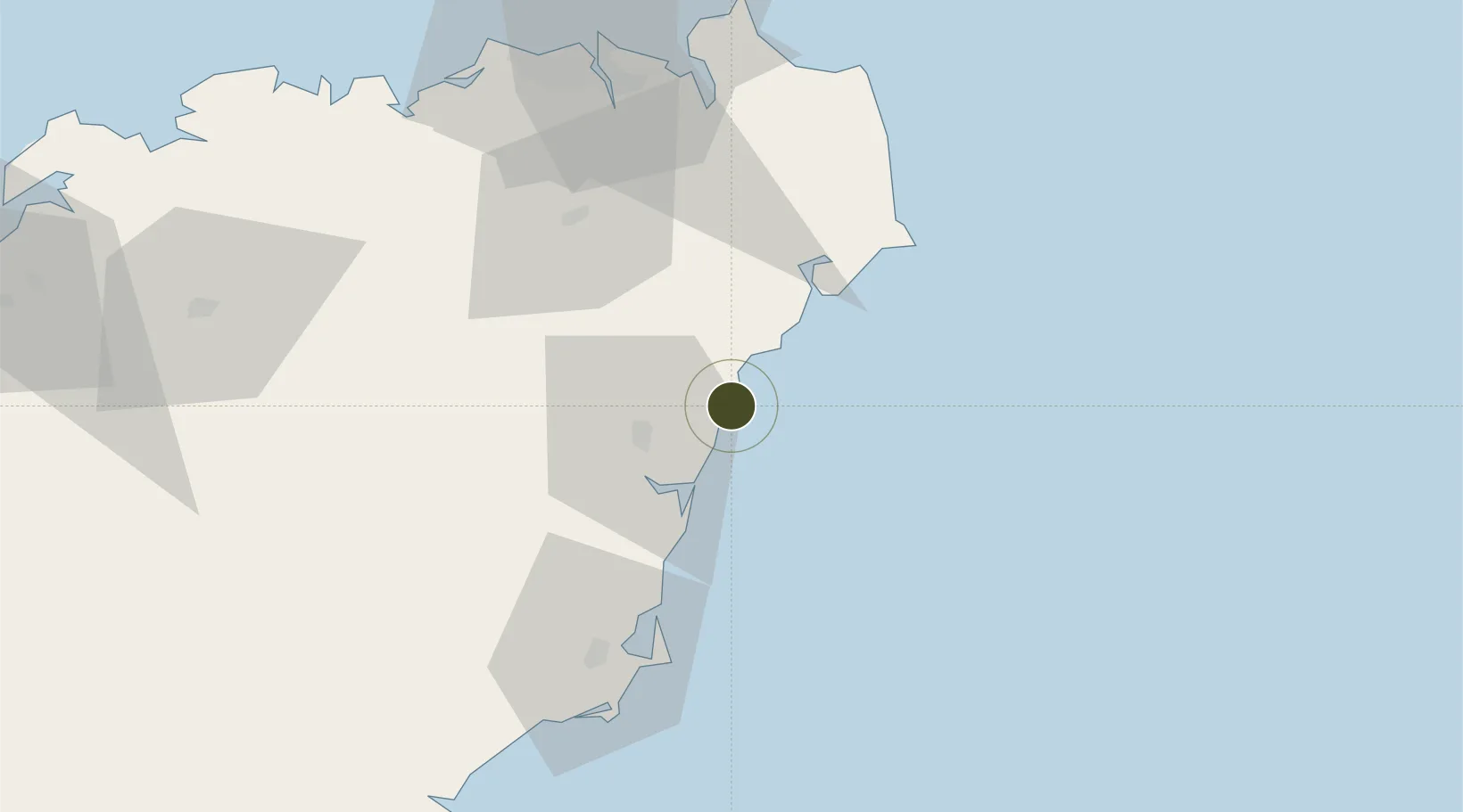
19.3127°, 110.6569°
1,920 ha
Zone area
90.8 km
Nearest port
28.7 km
Nearest airport

Gateway access

Nearest neighbours — logibook spatial index (haversine) over the source coordinates

Zone profile

Zone type
Export Processing Zone
Open Zone Map
Region
Hainan
Open Zone Map
Status
Active
Open Zone Map
Management
Public
Open Zone Map
Operator
Longwan Port Economic Development Zone Management Committee
Open Zone Map
Legal framework
Hainan Longwan Harbor Dredging Group Co., Ltd. was registered and established in Hainan Provincial Administration of Industry and Commerce on August 9, 1996
Open Zone Map

Location

Location of ozm-1345
Natural Earth 10m (public domain) · Hainan · ozm-1345 · 19.31, 110.66GoogleOSMYandex

Nearby Logistics Neighbours

Ports
  1. 1Haikou91 km
  2. 2Chiwan98 km
  3. 3Yangpu161 km
  4. 4Sanya169 km
  5. 5Zhanjiang212 km
Nearest neighbours — logibook spatial index (haversine) over the source coordinates
Airports
  1. 1Qionghai Bo'ao Airport29 km
  2. 2Haikou Meilan International Airport72 km
  3. 3Jialaishi Air Base107 km
  4. 4Lingshui Air Base115 km
  5. 5Sanya Air Base170 km
Nearest neighbours — logibook spatial index (haversine) over the source coordinates
Cities
  1. 1Tanmen22 km
  2. 2Qinglan Pt31 km
  3. 3Wanning64 km
  4. 4Haikou88 km
  5. 5Haikou Pt95 km
Nearest neighbours — logibook spatial index (haversine) over the source coordinates
DatabookThe Record of Consolidated Knowledge
China beyond logistics?
Browse databook

All Sources

Trade ZonesOpen Zone Map
CC BY
Portsthe NGA World Port Index
Public domain (US gov)
AirportsOurAirports
Public domain
LocationsUN/LOCODE
UN/LOCODE — free
← China trade zones