Transport Functions
Road
Multimodal
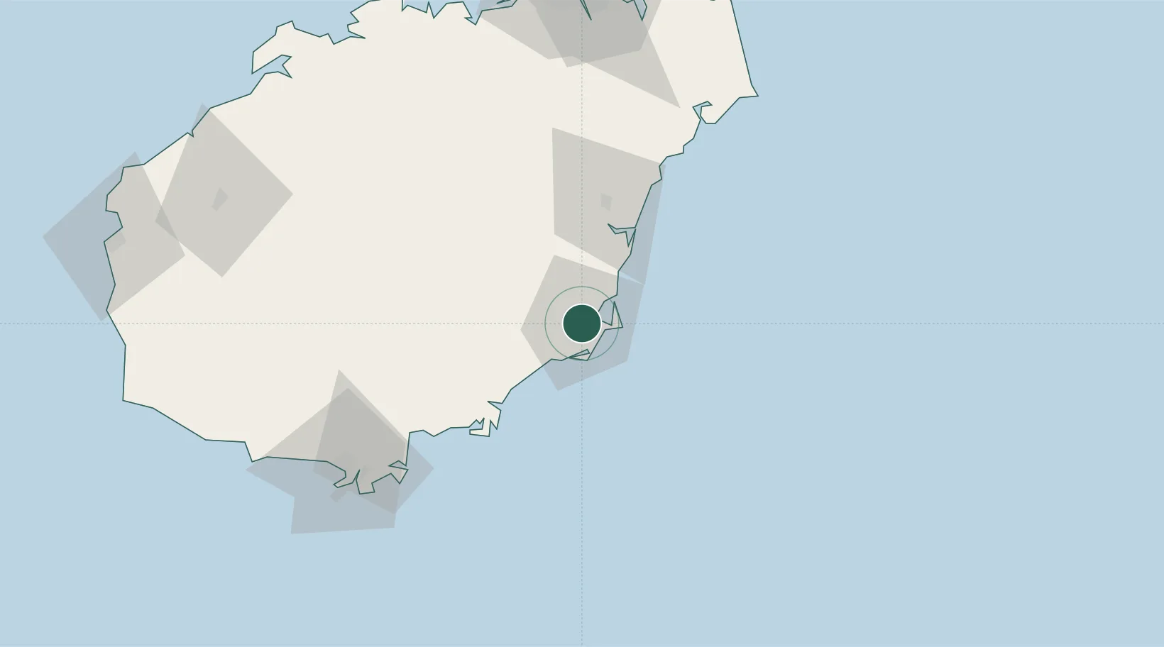
Hub Profile
Place type
Provincial seat
Region
Hainan
Population
545,992
Time zone
Asia/Shanghai
Elevation
15 m
Location
Nearby Logistics Neighbours
Cities
- 1Tanmen49 km
- 2Xincun51 km
- 3Qinglan Pt95 km
- 4Macun134 km
- 5Haikou136 km
Airports
- 1Qionghai Bo'ao Airport39 km
- 2Lingshui Air Base54 km
- 3Sanya Air Base113 km
- 4Sanya Phoenix International Airport116 km
- 5Jialaishi Air Base121 km
DatabookThe Record of Consolidated Knowledge
China beyond logistics?