Transport Functions
Port
Hub Profile
Region
HI
Logistics facilities
10
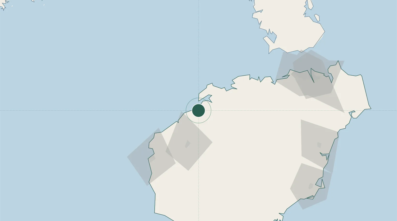
Location
Nearby Logistics Neighbours
Cities
- 1Baimajing10 km
- 2Xinying18 km
- 3Dongfang68 km
- 4Haikou New Pt78 km
- 5Basuo Pt90 km
Airports
- 1Jialaishi Air Base60 km
- 2Foluo Northeast Air Base104 km
- 3Haikou Meilan International Airport140 km
- 4Qionghai Bo'ao Airport146 km
- 5Sanya Phoenix International Airport149 km
DatabookThe Record of Consolidated Knowledge
China beyond logistics?