Diversified Zone · China

Shanghe Economic Development Zone Active
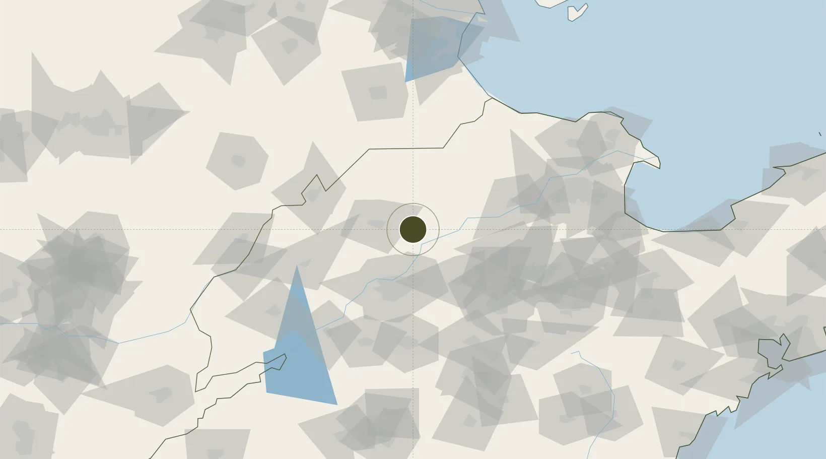
37.1564°, 117.1653°
1,700 ha
Zone area
209.6 km
Nearest port
33.6 km
Nearest airport

Gateway access

Nearest neighbours — logibook spatial index (haversine) over the source coordinates

Zone profile

Zone type
Diversified Zone
Open Zone Map
Region
Shandong
Open Zone Map
Status
Active
Open Zone Map
Management
Public
Open Zone Map
Operator
Management Committee of Shanghe Economic Development Zone
Open Zone Map
Legal framework
It was established in February 2001
Open Zone Map

Location

Location of ozm-795
Natural Earth 10m (public domain) · Shandong · ozm-795 · 37.16, 117.17GoogleOSMYandex

Nearby Logistics Neighbours

Ports
  1. 1Tianjin Xin Gang210 km
  2. 2Tangshan (Jingtang)279 km
  3. 3Longkou Gang281 km
  4. 4Rizhao292 km
  5. 5Qingdao Gang304 km
Nearest neighbours — logibook spatial index (haversine) over the source coordinates
Airports
  1. 1Jinan Yaoqiang International Airport34 km
  2. 2Jiugucheng Air Base100 km
  3. 3Guodu Air Base135 km
  4. 4Cangxian Air Base140 km
  5. 5Dongying Shengli Airport149 km
Nearest neighbours — logibook spatial index (haversine) over the source coordinates
Cities
  1. 1Pingdu45 km
  2. 2Jinan56 km
  3. 3Leling64 km
  4. 4Dezhou84 km
  5. 5Zibo87 km
Nearest neighbours — logibook spatial index (haversine) over the source coordinates
Trade Zones
  1. 1Jibei Economic Development Zone20 km
  2. 2Qihe Economic Development Zone51 km
  3. 3Jinan (Jinan) Hi-Tech Industrial Development Zone52 km
  4. 4Huaiyin Industrial Park54 km
  5. 5Jinan Export Processing Zone55 km
Nearest neighbours — logibook spatial index (haversine) over the source coordinates
DatabookThe Record of Consolidated Knowledge
China beyond logistics?
Browse databook

All Sources

Trade ZonesOpen Zone Map
CC BY
Portsthe NGA World Port Index
Public domain (US gov)
AirportsOurAirports
Public domain
LocationsUN/LOCODE
UN/LOCODE — free
← China trade zones