Export Processing Zone · China

Yizhang Economic Development Zone Active
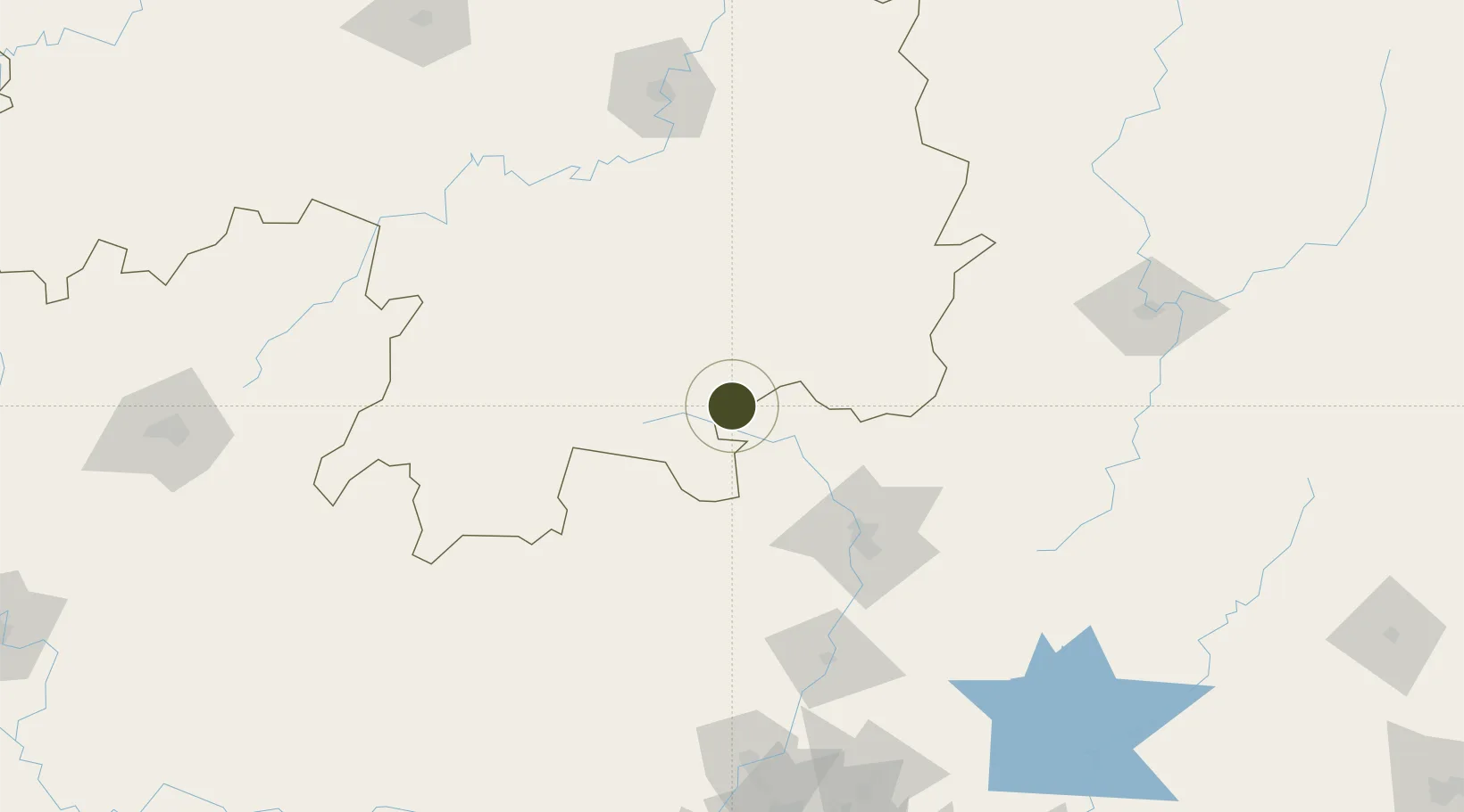
25.3993°, 112.9552°
1,500 ha
Zone area
255.4 km
Nearest port
40.9 km
Nearest airport

Gateway access

Nearest neighbours — logibook spatial index (haversine) over the source coordinates

Zone profile

Zone type
Export Processing Zone
Open Zone Map
Region
Hunan
Open Zone Map
Status
Active
Open Zone Map
Management
Public
Open Zone Map
Operator
Working Committee of Yizhang Economic Development Zone
Open Zone Map
Legal framework
Yizhang Economic Development Zone to accelerate the implementation of key work of the park
Open Zone Map

Location

Location of ozm-1320
Natural Earth 10m (public domain) · Hunan · ozm-1320 · 25.40, 112.96GoogleOSMYandex

Nearby Logistics Neighbours

Ports
  1. 1Guangzhou255 km
  2. 2Huangpu262 km
  3. 3Huangpuxingang267 km
  4. 4Huizhou338 km
  5. 5Shekou339 km
Nearest neighbours — logibook spatial index (haversine) over the source coordinates
Airports
  1. 1Chenzhou Beihu Airport41 km
  2. 2Shaoguan Danxia Airport66 km
  3. 3Leiyang Air Base132 km
  4. 4Hengyang Nanyue Airport151 km
  5. 5Xincheng Air Base168 km
Nearest neighbours — logibook spatial index (haversine) over the source coordinates
Cities
  1. 1Lianzhou93 km
  2. 2Shaoguan New Pt94 km
  3. 3Longhai123 km
  4. 4Xiniu140 km
  5. 5Hengyang168 km
Nearest neighbours — logibook spatial index (haversine) over the source coordinates
Trade Zones
  1. 1Guanyang County Industrial Concentration Zone40 km
  2. 2Linwu Industrial Park42 km
  3. 3Lechang Economic Development Zone54 km
  4. 4Industrial Transfer Industrial Park54 km
  5. 5Jiahe Economic Development Zone65 km
Nearest neighbours — logibook spatial index (haversine) over the source coordinates
DatabookThe Record of Consolidated Knowledge
China beyond logistics?
Browse databook

All Sources

Trade ZonesOpen Zone Map
CC BY
Portsthe NGA World Port Index
Public domain (US gov)
AirportsOurAirports
Public domain
LocationsUN/LOCODE
UN/LOCODE — free
← China trade zones