Diversified Zone · China
Industrial Transfer Industrial Park Active
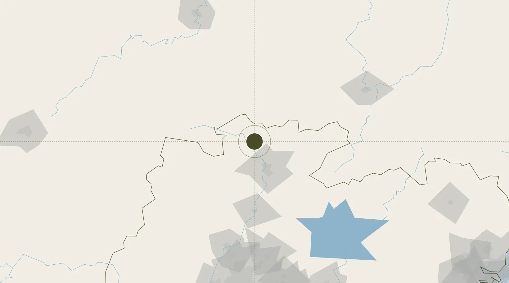
25.1426°, 113.4144°
439 ha
Zone area
226.0 km
Nearest port
18.3 km
Nearest airport
Gateway access
Zone profile
Zone type
Diversified Zone
Region
Guangdong
Status
Active
Management
Public
Operator
Industrial Transfer Industrial Park Management Committee
Legal framework
Regulations on Taxation Policies of National High-Tech Industrial Development Zones Approved by State Council of the People's Republic of China Mar 6, 1991; Administrative Measures for the Recognition of High-tech Enterprises; Ministry of Science and Tech
Location
Nearby Logistics Neighbours
Ports
- 1Guangzhou226 km
- 2Huangpu229 km
- 3Huangpuxingang233 km
- 4Huizhou292 km
- 5Yantian298 km
Airports
- 1Shaoguan Danxia Airport18 km
- 2Chenzhou Beihu Airport89 km
- 3Xincheng Air Base129 km
- 4Ganzhou Huangjin Airport158 km
- 5Leiyang Air Base169 km
Cities
- 1Shaoguan New Pt43 km
- 2Xiniu114 km
- 3Lianzhou115 km
- 4Longhai148 km
- 5Ganzhou155 km
DatabookThe Record of Consolidated Knowledge
China beyond logistics?