Medium airport · Kazakhstan
Taldykorgan AirportUAAT
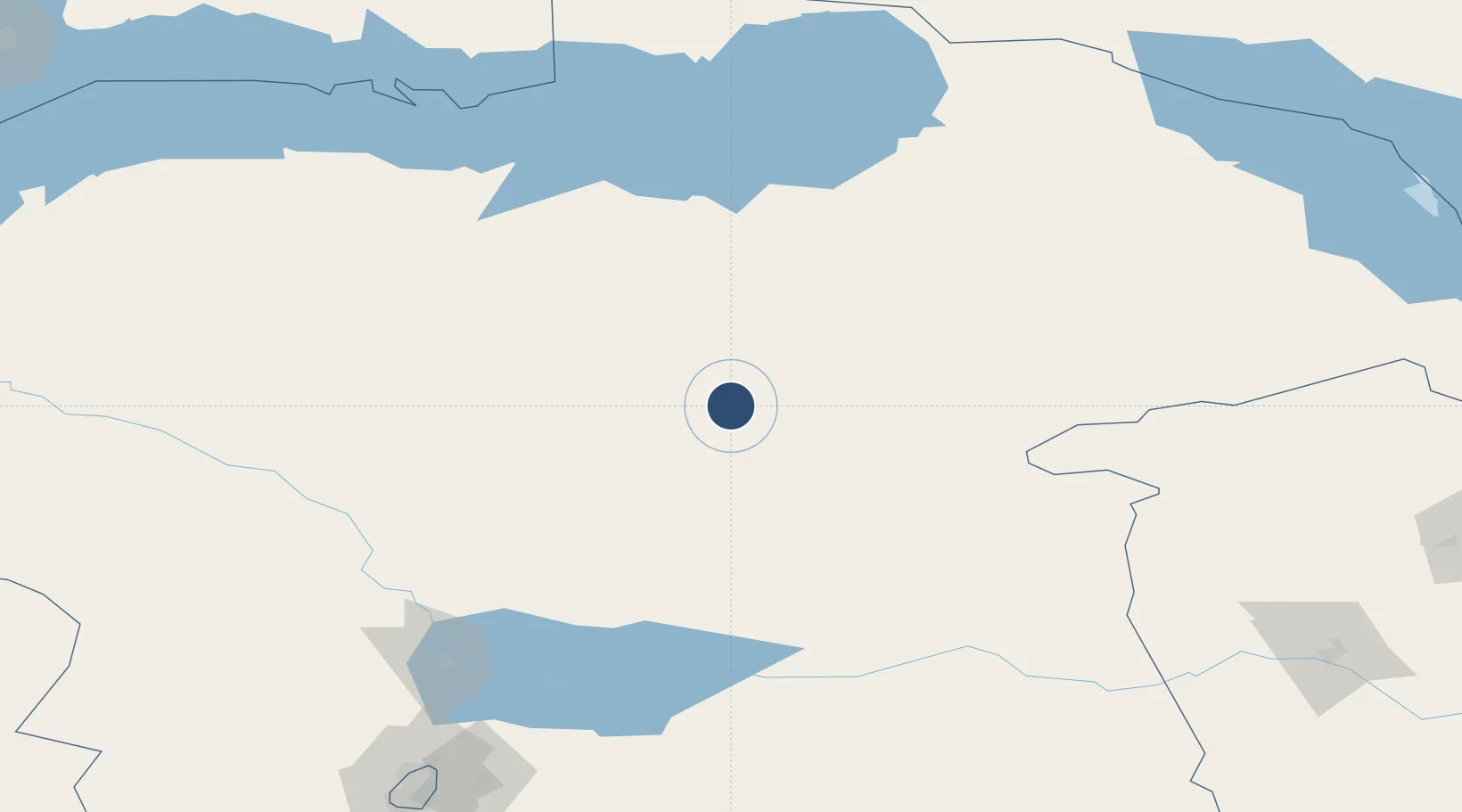
45.1225°, 78.4428°
9,846 ft
Longest runway
1
Runways
1,925 ft
Elevation
Runway & Layout

Radio Frequencies
TWR
127.3 MHz
Runways · 1
| Runway | Dimensions | Surface | True heading | Lit |
|---|---|---|---|---|
| 02/20 | 9,846 × 164ft | Concrete | — | ✓ |
Airport Specifications
IATA code
TDK
ICAO code
UAAT
Airport class
Medium airport
Scheduled service
Yes
Runway surface
Concrete
Served city
Taldykorgan
Location
Nearby Logistics Neighbours
Airports
- 1Usharal Airport220 km
- 2Almaty International Airport226 km
- 3Yining Airport263 km
- 4Karakol Airport291 km
- 5Bole Alashankou Airport304 km
Cities
- 1Horgos224 km
- 2Almaty234 km
- 3Yining266 km
- 4Alatawshankou313 km
- 5Dosytk317 km
Ports
- 1Muhamamad Bin Qasim2473 km
- 2Karachi2485 km
- 3Igarka2529 km
- 4Kandla2567 km
- 5Navlakhi2569 km
DatabookThe Record of Consolidated Knowledge
Kazakhstan beyond logistics?