Runway & Layout

Radio Frequencies
ACC
125.9 MHz
Beijing Center
Runways · 1
| Runway | Dimensions | Surface | True heading | Lit |
|---|---|---|---|---|
| 18/36 | — | paved | — | — |
Airport Specifications
ICAO code
ZBBB
Airport class
Medium airport
Scheduled service
No
Served city
Beijing
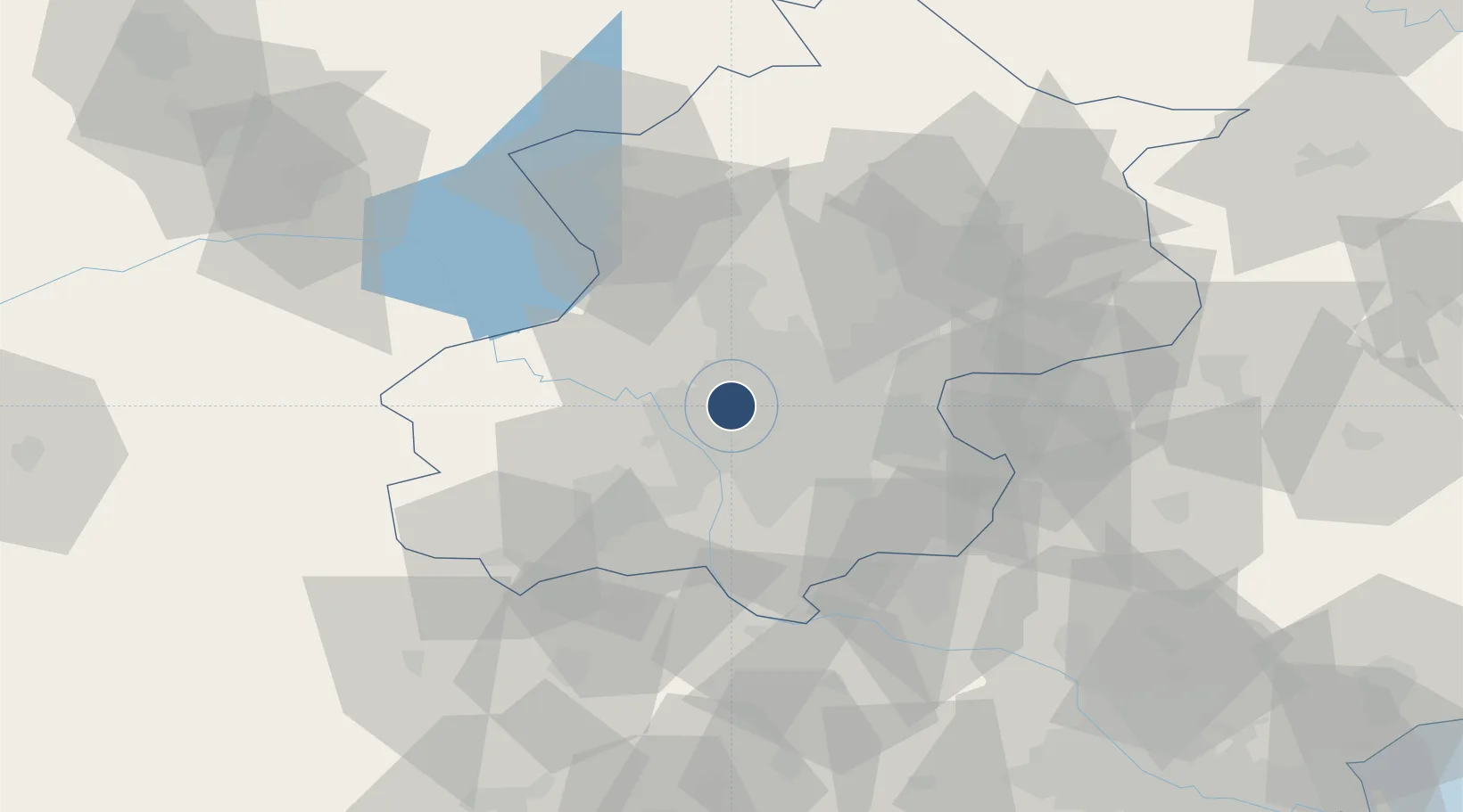
Location
Nearby Logistics Neighbours
Airports
Ports
- 1Tianjin Xin Gang175 km
- 2Tangshan (Jingtang)251 km
- 3Qinhuangdao286 km
- 4Huludao Gang409 km
- 5Jinzhou Wan420 km
DatabookThe Record of Consolidated Knowledge
China beyond logistics?