Transport Functions
Rail
Road
Airport
Multimodal
Postal
Hub Profile
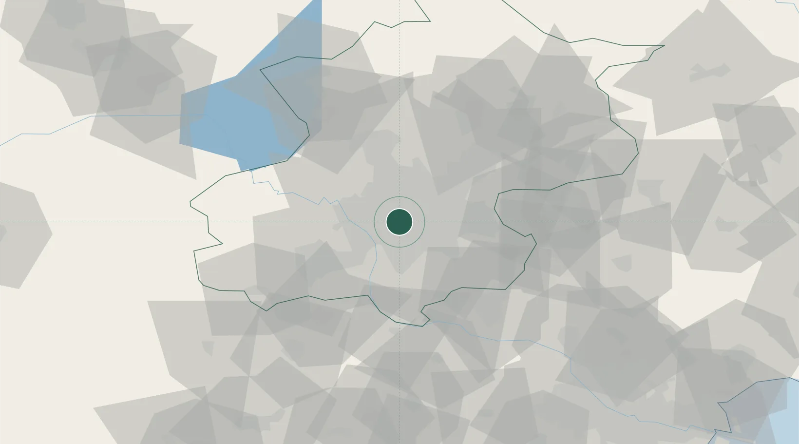
Place type
National capital
Region
Beijing
Population
18,960,744
Time zone
Asia/Shanghai
Elevation
49 m
Logistics facilities
2
Location
Nearby Logistics Neighbours
Ports
- 1Tianjin Xin Gang165 km
- 2Tangshan (Jingtang)243 km
- 3Qinhuangdao280 km
- 4Huludao Gang404 km
- 5Jinzhou Wan415 km
Airports
DatabookThe Record of Consolidated Knowledge
China beyond logistics?